Transport Functions
Multimodal
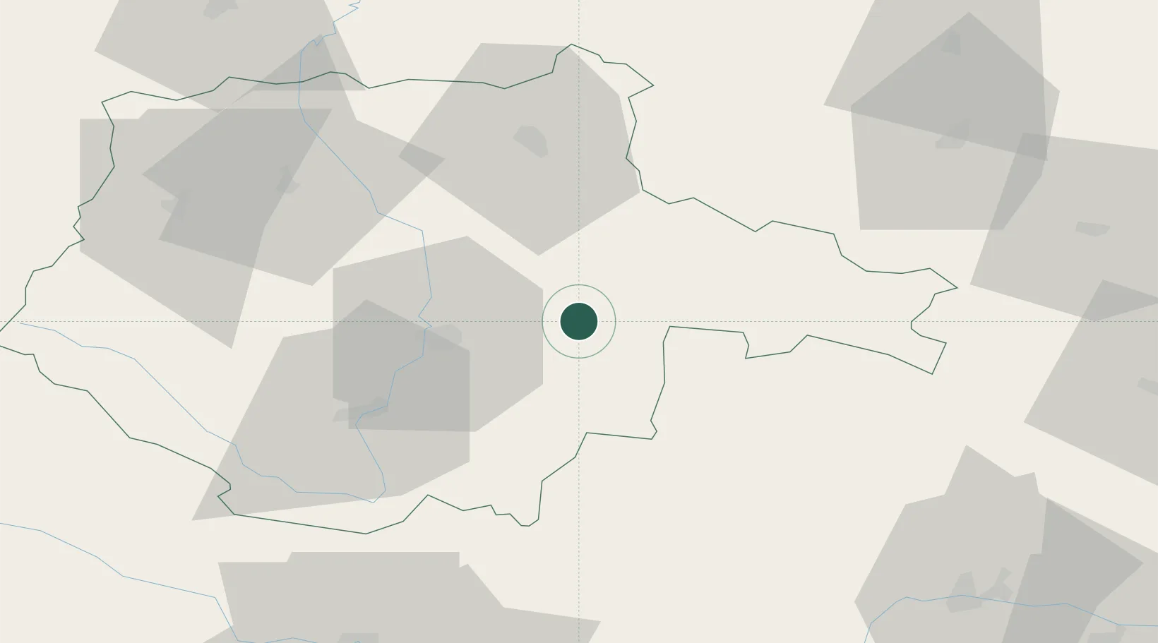
Hub Profile
Place type
Populated place
Region
Jihočeský kraj
Population
8,862
Time zone
Europe/Prague
Elevation
438 m
Location
Nearby Logistics Neighbours
Cities
- 1Lisov13 km
- 2Borovany14 km
- 3Neplachov17 km
- 4Veseli nad Luznici20 km
- 5Dolni Pena20 km
Ports
- 1Monfalcone371 km
- 2Nogaro382 km
- 3Trieste382 km
- 4Grado386 km
- 5Muggia388 km
Airports
- 1České Budějovice South Bohemian Airport27 km
- 2Linz-Hörsching Airport97 km
- 3Náměšť Air Base99 km
- 4Čáslav Air Base111 km
- 5Prague–Kbely Air Base124 km
Trade Zones
DatabookThe Record of Consolidated Knowledge
Czechia beyond logistics?