Transport Functions
Multimodal
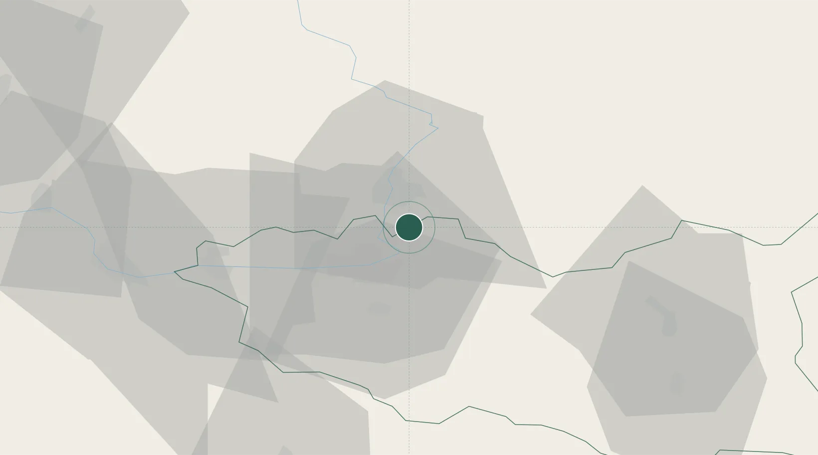
Hub Profile
Place type
Populated place
Region
Pardubický
Population
224
Time zone
Europe/Prague
Elevation
242 m
Location
Nearby Logistics Neighbours
Cities
- 1Hradec Králové9 km
- 2Staré Hradiste10 km
- 3Stezery12 km
- 4Osice13 km
- 5Predmerice nad Labem14 km
Ports
- 1Szczecin376 km
- 2Police392 km
- 3Swinoujscie435 km
- 4Kolobrzeg455 km
- 5Wolgast458 km
Airports
- 1Pardubice Airport16 km
- 2Čáslav Air Base41 km
- 3Kostomlaty Airstrip68 km
- 4Prague–Kbely Air Base94 km
- 5Vodochody Airport105 km
Trade Zones
DatabookThe Record of Consolidated Knowledge
Czechia beyond logistics?