Transport Functions
Port
Multimodal
Hub Profile
Place type
Populated place
Region
Královéhradecký kraj
Population
409
Time zone
Europe/Prague
Elevation
265 m
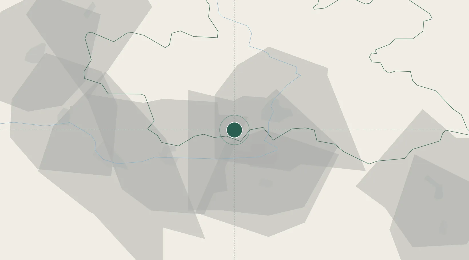
Location
Nearby Logistics Neighbours
Cities
- 1Stezery9 km
- 2Nechanice10 km
- 3Staré Hradiste12 km
- 4Borek13 km
- 5Hradec Králové14 km
Ports
- 1Szczecin372 km
- 2Police388 km
- 3Swinoujscie430 km
- 4Kolobrzeg452 km
- 5Wolgast453 km
Airports
- 1Pardubice Airport16 km
- 2Čáslav Air Base32 km
- 3Kostomlaty Airstrip54 km
- 4Prague–Kbely Air Base81 km
- 5Vodochody Airport92 km
Trade Zones
DatabookThe Record of Consolidated Knowledge
Czechia beyond logistics?