Transport Functions
Road
Multimodal
Hub Profile
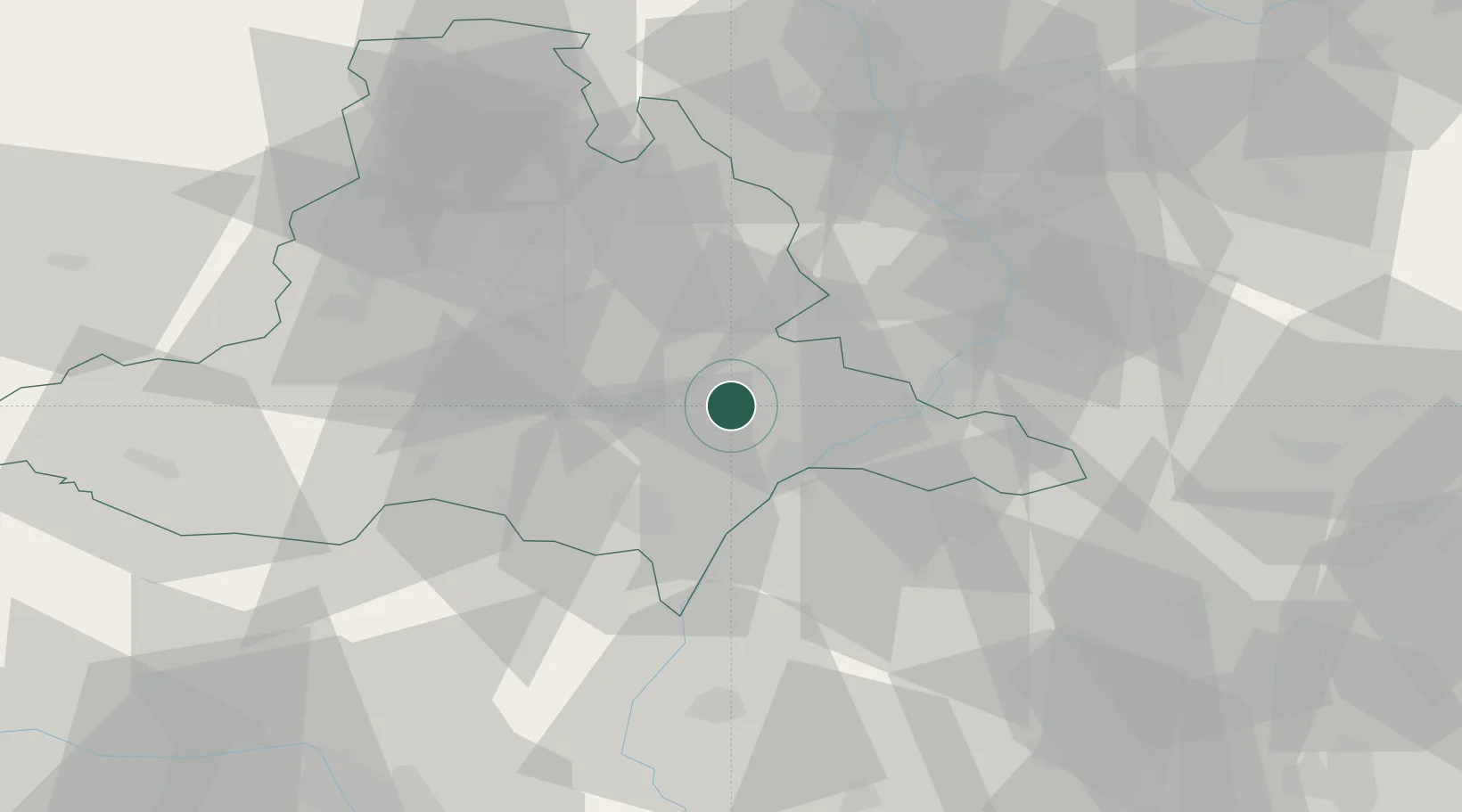
Place type
Populated place
Region
South Moravian
Population
2,152
Time zone
Europe/Prague
Elevation
183 m
Location
Nearby Logistics Neighbours
Cities
- 1Karlín5 km
- 2Zdánice11 km
- 3Klobouky U Brna12 km
- 4Moravany13 km
- 5Prusánky15 km
Ports
- 1Monfalcone441 km
- 2Trieste444 km
- 3Muggia448 km
- 4Rijeka Luka449 km
- 5Bakar449 km
Airports
- 1Kunovice Airport31 km
- 2Brno-Tuřany Airport32 km
- 3Přerov Air Base58 km
- 4Malacky/Kuchyňa Air Base63 km
- 5Piešťany Airport70 km
Trade Zones
DatabookThe Record of Consolidated Knowledge
Czechia beyond logistics?