UN/LOCODE hub · Czechia
CZJLA
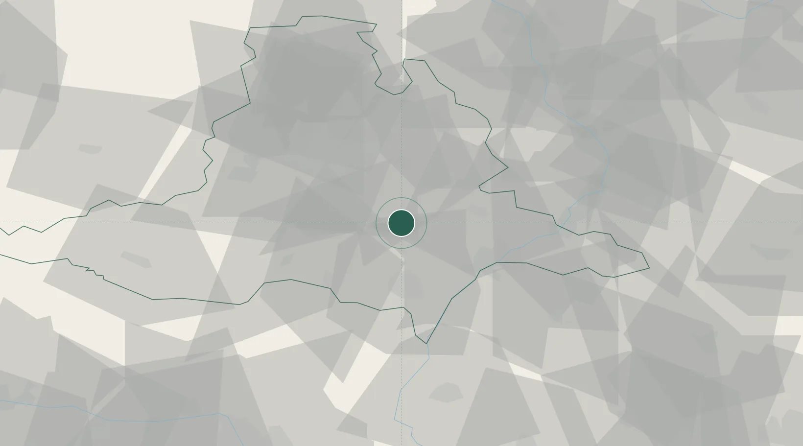
Klobouky U Brna
48.9833°, 16.8667°
2,476
Population
1
Transport functions
Transport Functions
Multimodal
Hub Profile
Place type
Populated place
Region
South Moravian
Population
2,476
Time zone
Europe/Prague
Elevation
220 m
Location
Nearby Logistics Neighbours
Ports
- 1Monfalcone435 km
- 2Trieste439 km
- 3Muggia443 km
- 4Rijeka Luka446 km
- 5Bakar446 km
Airports
- 1Brno-Tuřany Airport23 km
- 2Kunovice Airport42 km
- 3Náměšť Air Base58 km
- 4Přerov Air Base63 km
- 5Malacky/Kuchyňa Air Base67 km
Trade Zones
DatabookThe Record of Consolidated Knowledge
Czechia beyond logistics?