Transport Functions
Road
Multimodal
Hub Profile
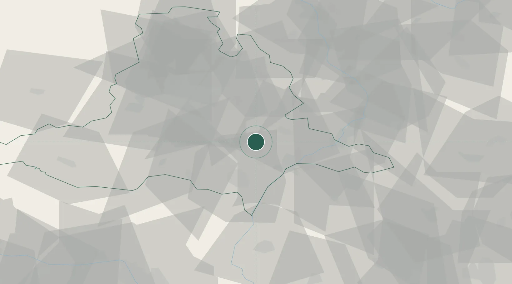
Place type
Populated place
Region
South Moravian
Population
205
Time zone
Europe/Prague
Elevation
193 m
Location
Nearby Logistics Neighbours
Cities
- 1Sardice5 km
- 2Klobouky U Brna8 km
- 3Zdánice13 km
- 4Prusánky15 km
- 5Zajecí15 km
Ports
- 1Monfalcone438 km
- 2Trieste441 km
- 3Muggia445 km
- 4Rijeka Luka447 km
- 5Bakar447 km
Airports
- 1Brno-Tuřany Airport29 km
- 2Kunovice Airport35 km
- 3Přerov Air Base60 km
- 4Malacky/Kuchyňa Air Base64 km
- 5Náměšť Air Base65 km
Trade Zones
DatabookThe Record of Consolidated Knowledge
Czechia beyond logistics?