Transport Functions
Multimodal
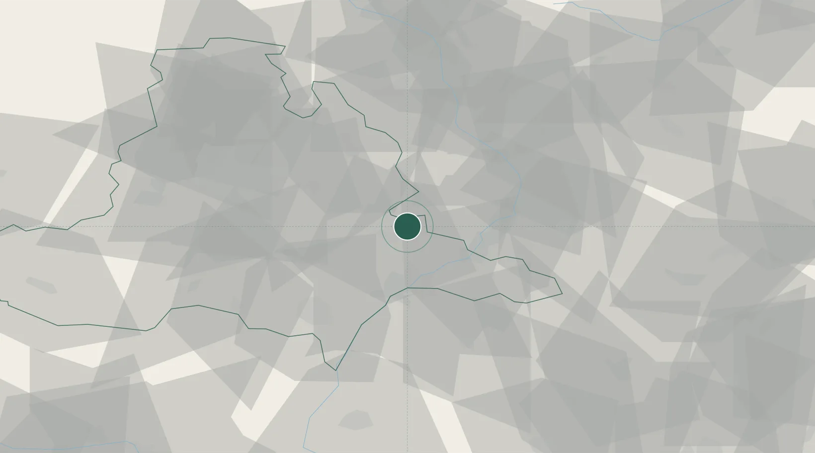
Hub Profile
Place type
Populated place
Region
South Moravian
Population
736
Time zone
Europe/Prague
Elevation
241 m
Location
Nearby Logistics Neighbours
Cities
- 1Zdánice9 km
- 2Brankovice11 km
- 3Bzenec13 km
- 4Sardice13 km
- 5Nedakonice16 km
Ports
- 1Monfalcone454 km
- 2Trieste457 km
- 3Muggia461 km
- 4Rijeka Luka462 km
- 5Bakar462 km
Airports
- 1Kunovice Airport20 km
- 2Brno-Tuřany Airport36 km
- 3Přerov Air Base45 km
- 4Piešťany Airport68 km
- 5Malacky/Kuchyňa Air Base72 km
Trade Zones
DatabookThe Record of Consolidated Knowledge
Czechia beyond logistics?