Transport Functions
Road
Multimodal
Hub Profile
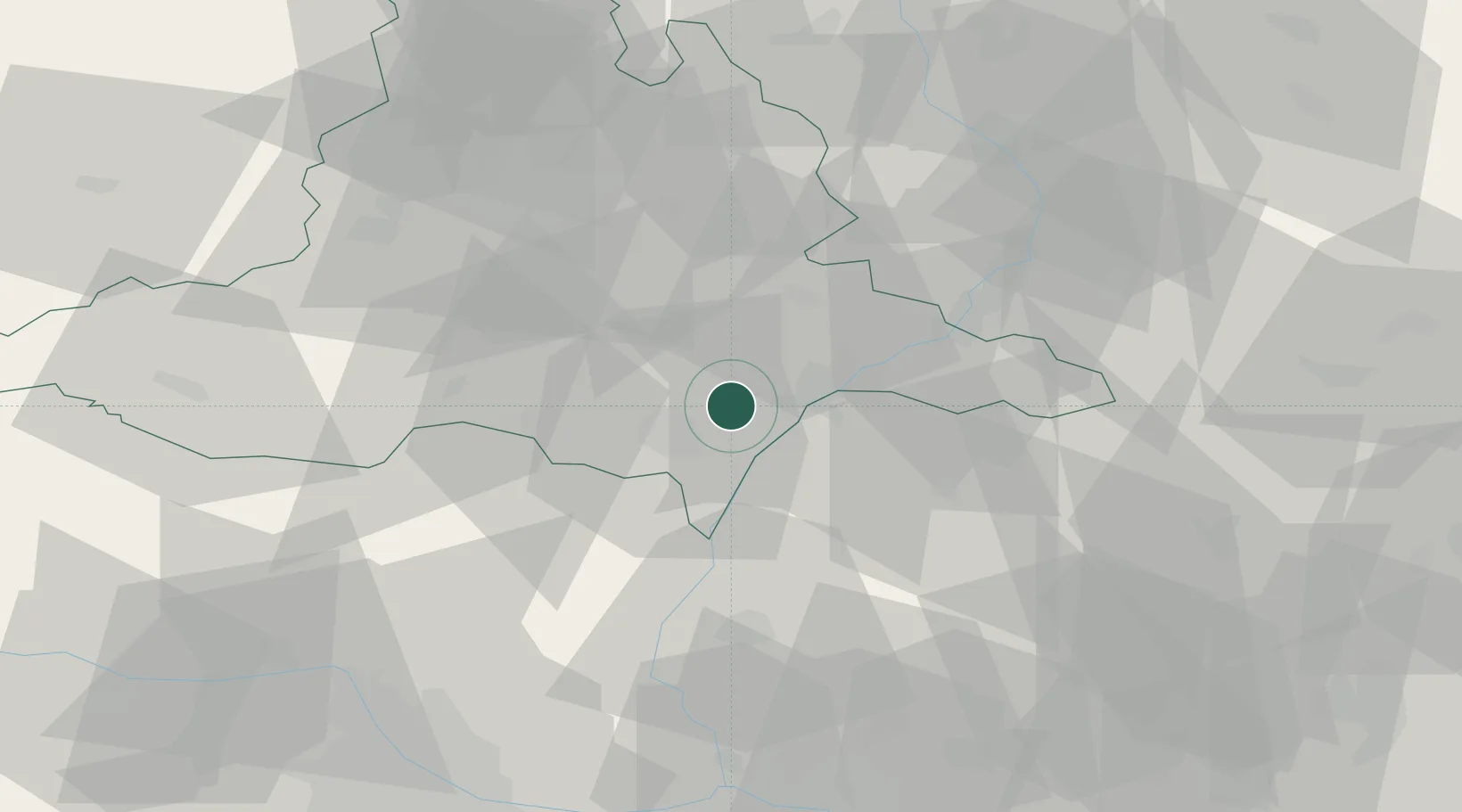
Place type
Populated place
Region
South Moravian
Population
2,183
Time zone
Europe/Prague
Elevation
183 m
Location
Nearby Logistics Neighbours
Cities
- 1Moravsky Zizkov5 km
- 2Mikulcice5 km
- 3Hrusky/Breclav6 km
- 4Tvrdonice8 km
- 5Ladná9 km
Ports
- 1Monfalcone427 km
- 2Trieste430 km
- 3Muggia434 km
- 4Rijeka Luka434 km
- 5Bakar434 km
Airports
- 1Kunovice Airport40 km
- 2Brno-Tuřany Airport41 km
- 3Malacky/Kuchyňa Air Base49 km
- 4Piešťany Airport66 km
- 5Přerov Air Base73 km
Trade Zones
DatabookThe Record of Consolidated Knowledge
Czechia beyond logistics?