Transport Functions
Rail
Road
Hub Profile
Place type
Populated place
Region
South Moravian
Population
2,721
Time zone
Europe/Prague
Elevation
223 m
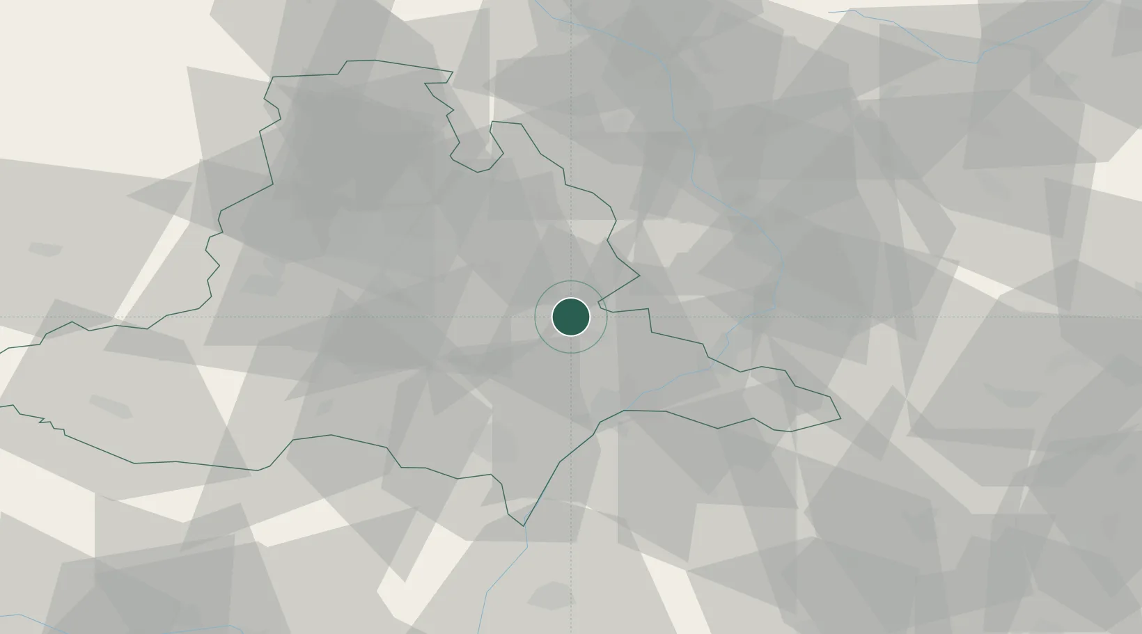
Location
Nearby Logistics Neighbours
Cities
- 1Moravany9 km
- 2Sardice11 km
- 3Brankovice12 km
- 4Karlín13 km
- 5Slavkov u Brna16 km
Ports
- 1Monfalcone450 km
- 2Trieste454 km
- 3Muggia458 km
- 4Rijeka Luka460 km
- 5Bakar460 km
Airports
- 1Brno-Tuřany Airport28 km
- 2Kunovice Airport29 km
- 3Přerov Air Base48 km
- 4Náměšť Air Base68 km
- 5Malacky/Kuchyňa Air Base74 km
Trade Zones
DatabookThe Record of Consolidated Knowledge
Czechia beyond logistics?