Transport Functions
Rail
Road
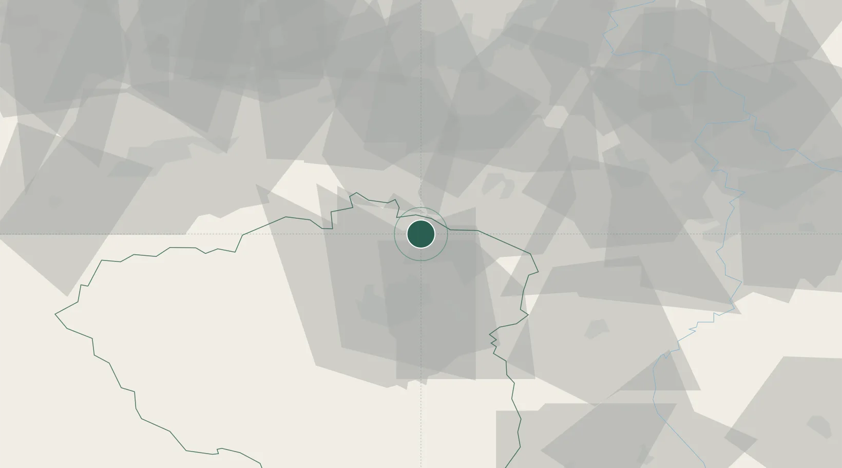
Hub Profile
Place type
Populated place
Region
Plzeň Region
Population
3,526
Time zone
Europe/Prague
Elevation
450 m
Location
Nearby Logistics Neighbours
Cities
- 1Jesenice13 km
- 2Kaznejov13 km
- 3Lubna19 km
- 4Horní Bríza19 km
- 5Kryry21 km
Ports
- 1Szczecin389 km
- 2Police405 km
- 3Swinoujscie441 km
- 4Wismar457 km
- 5Hamburg466 km
Airports
- 1Plzeň-Líně Airport37 km
- 2Karlovy Vary Airport47 km
- 3Václav Havel Airport Prague57 km
- 4Vodochody Airport70 km
- 5Prague–Kbely Air Base77 km
Trade Zones
DatabookThe Record of Consolidated Knowledge
Czechia beyond logistics?