Transport Functions
Multimodal
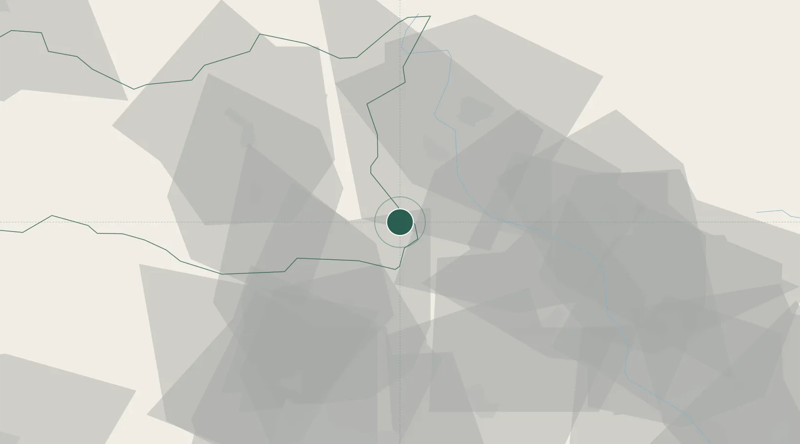
Hub Profile
Place type
Populated place
Region
Pardubický
Time zone
Europe/Prague
Elevation
298 m
Logistics facilities
1
Location
Nearby Logistics Neighbours
Cities
- 1Chornice7 km
- 2Lostice10 km
- 3Kuncina14 km
- 4Michnov14 km
- 5Velké Opatovice16 km
Ports
- 1Szczecin440 km
- 2Police455 km
- 3Swinoujscie498 km
- 4Monfalcone500 km
- 5Trieste507 km
Airports
- 1Přerov Air Base54 km
- 2Brno-Tuřany Airport63 km
- 3Náměšť Air Base78 km
- 4Pardubice Airport83 km
- 5Kunovice Airport89 km
Trade Zones
DatabookThe Record of Consolidated Knowledge
Czechia beyond logistics?