Transport Functions
Multimodal
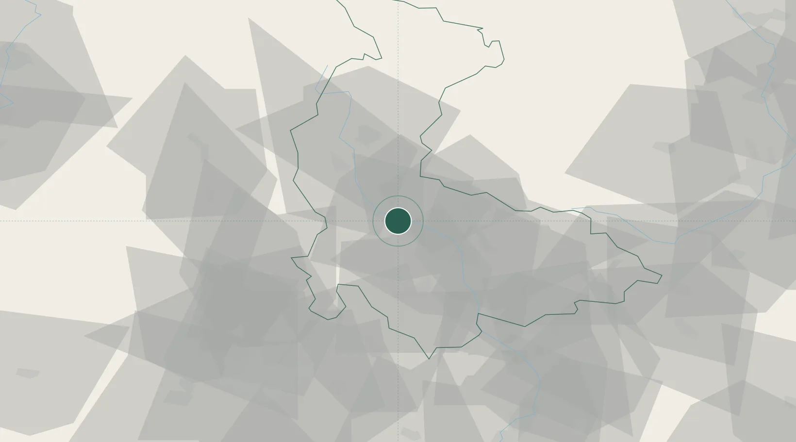
Hub Profile
Place type
Populated place
Region
Olomoucký
Population
10,062
Time zone
Europe/Prague
Elevation
239 m
Location
Nearby Logistics Neighbours
Cities
- 1Lostice11 km
- 2Pencin15 km
- 3Strazna16 km
- 4Bohunovice16 km
- 5Dubicko17 km
Ports
- 1Szczecin448 km
- 2Police463 km
- 3Swinoujscie507 km
- 4Monfalcone509 km
- 5Trieste514 km
Airports
- 1Přerov Air Base39 km
- 2Brno-Tuřany Airport67 km
- 3Leoš Janáček Airport Ostrava75 km
- 4Kunovice Airport79 km
- 5Náměšť Air Base90 km
Trade Zones
DatabookThe Record of Consolidated Knowledge
Czechia beyond logistics?