Transport Functions
Rail
Road
Hub Profile
Place type
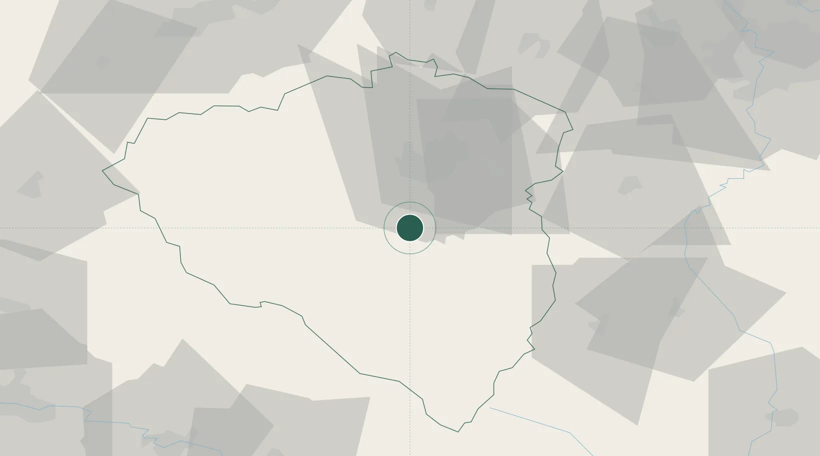
Populated place
Region
Plzeň Region
Population
6,353
Time zone
Europe/Prague
Elevation
353 m
Location
Nearby Logistics Neighbours
Cities
- 1Chlumcany u Prestic8 km
- 2Birkov9 km
- 3Dobrany10 km
- 4Litice15 km
- 5Zbuch16 km
Ports
- 1Monfalcone421 km
- 2Nogaro424 km
- 3Grado430 km
- 4Szczecin436 km
- 5Trieste437 km
Airports
- 1Plzeň-Líně Airport13 km
- 2Karlovy Vary Airport77 km
- 3Václav Havel Airport Prague89 km
- 4Grafenwöhr Army Air Field101 km
- 5Vodochody Airport105 km
Trade Zones
DatabookThe Record of Consolidated Knowledge
Czechia beyond logistics?