Transport Functions
Rail
Road
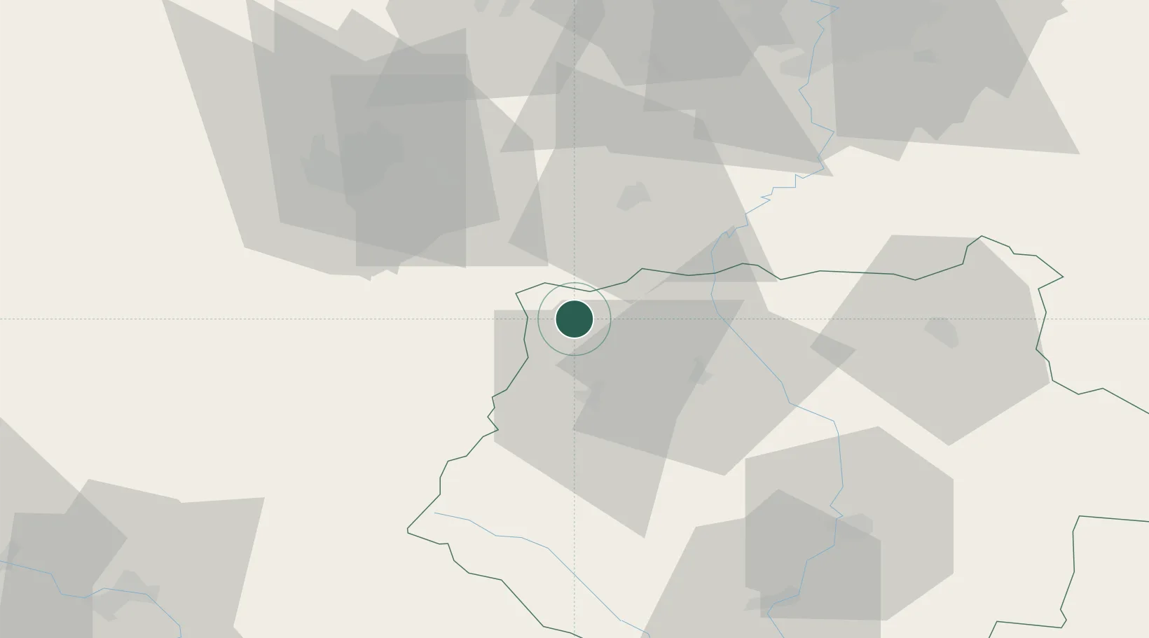
Hub Profile
Place type
Populated place
Region
Jihočeský kraj
Population
6,669
Time zone
Europe/Prague
Elevation
440 m
Location
Nearby Logistics Neighbours
Cities
- 1Sedlice u Blatne8 km
- 2Drahenice11 km
- 3Kasejovice12 km
- 4Mirovice15 km
- 5Horazdovice19 km
Ports
- 1Monfalcone407 km
- 2Nogaro412 km
- 3Grado418 km
- 4Trieste421 km
- 5Muggia426 km
Airports
Trade Zones
DatabookThe Record of Consolidated Knowledge
Czechia beyond logistics?