Transport Functions
Multimodal
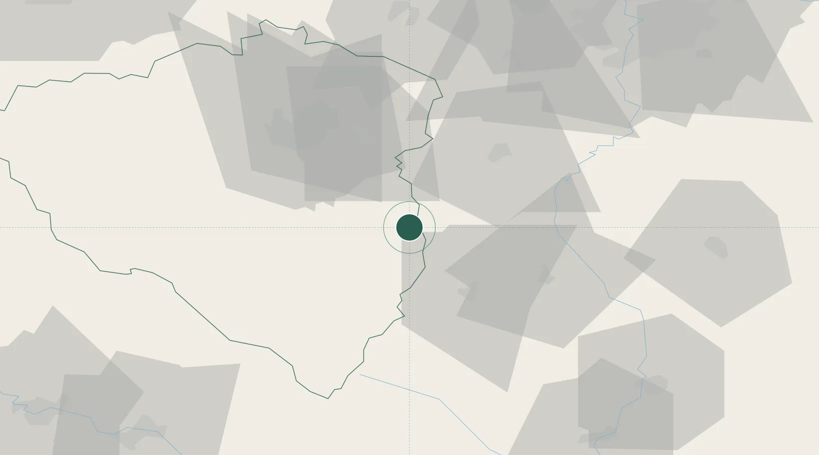
Hub Profile
Place type
Populated place
Region
Plzeň Region
Population
1,320
Time zone
Europe/Prague
Elevation
541 m
Location
Nearby Logistics Neighbours
Cities
- 1Nepomuk10 km
- 2Blatná12 km
- 3Horazdovice17 km
- 4Drahenice18 km
- 5Sedlice u Blatne18 km
Ports
- 1Monfalcone410 km
- 2Nogaro415 km
- 3Grado420 km
- 4Trieste424 km
- 5Muggia430 km
Airports
Trade Zones
DatabookThe Record of Consolidated Knowledge
Czechia beyond logistics?