UN/LOCODE hub · Czechia
CZMYT

Myto/Cesky Krumlov

48.7833°, 14.1667°
2
Transport functions

Transport Functions

Port
Multimodal
UN/LOCODE

Hub Profile

Region
JC
GeoNames

Location

Location of CZMYT
Natural Earth 10m (public domain) · JC · CZMYT · 48.78, 14.17GoogleOSMYandex

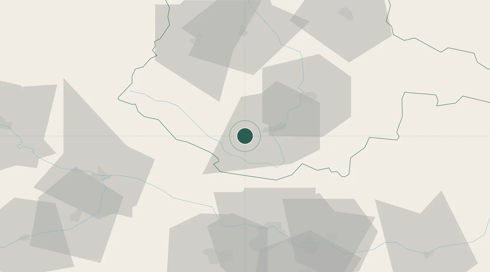
Nearby Logistics Neighbours

Cities
  1. 1Cesky Krumlov12 km
  2. 2Loucovice15 km
  3. 3Chlum20 km
  4. 4Schlägl22 km
  5. 5Horní Dvoriste27 km
Nearest neighbours — logibook spatial index (haversine) over the source coordinates
Ports
  1. 1Monfalcone337 km
  2. 2Nogaro345 km
  3. 3Grado349 km
  4. 4Trieste350 km
  5. 5Muggia355 km
Nearest neighbours — logibook spatial index (haversine) over the source coordinates
Airports
  1. 1České Budějovice South Bohemian Airport27 km
  2. 2Linz-Hörsching Airport61 km
  3. 3Plzeň-Líně Airport119 km
  4. 4Salzburg Airport140 km
  5. 5Václav Havel Airport Prague147 km
Nearest neighbours — logibook spatial index (haversine) over the source coordinates
Trade Zones
  1. 1Freeport of Deggendorf93 km
  2. 2Světlá nad Sázavou Municipal Industrial Zone134 km
  3. 3Industrial Zone Kutna Hora152 km
  4. 4Kolín - Ovčáry Industrial Zone162 km
  5. 5Podbořany Industrial Zone170 km
Nearest neighbours — logibook spatial index (haversine) over the source coordinates
DatabookThe Record of Consolidated Knowledge
Czechia beyond logistics?
Browse databook

All Sources

LocationsUN/LOCODE
UN/LOCODE — free
Portsthe NGA World Port Index
Public domain (US gov)
AirportsOurAirports
Public domain
Trade Zonesthe World Bank SEZ database
CC BY 4.0
Trade ZonesOpen Zone Map
CC BY
← Czechia locations