Transport Functions
Rail
Road
Multimodal
Hub Profile
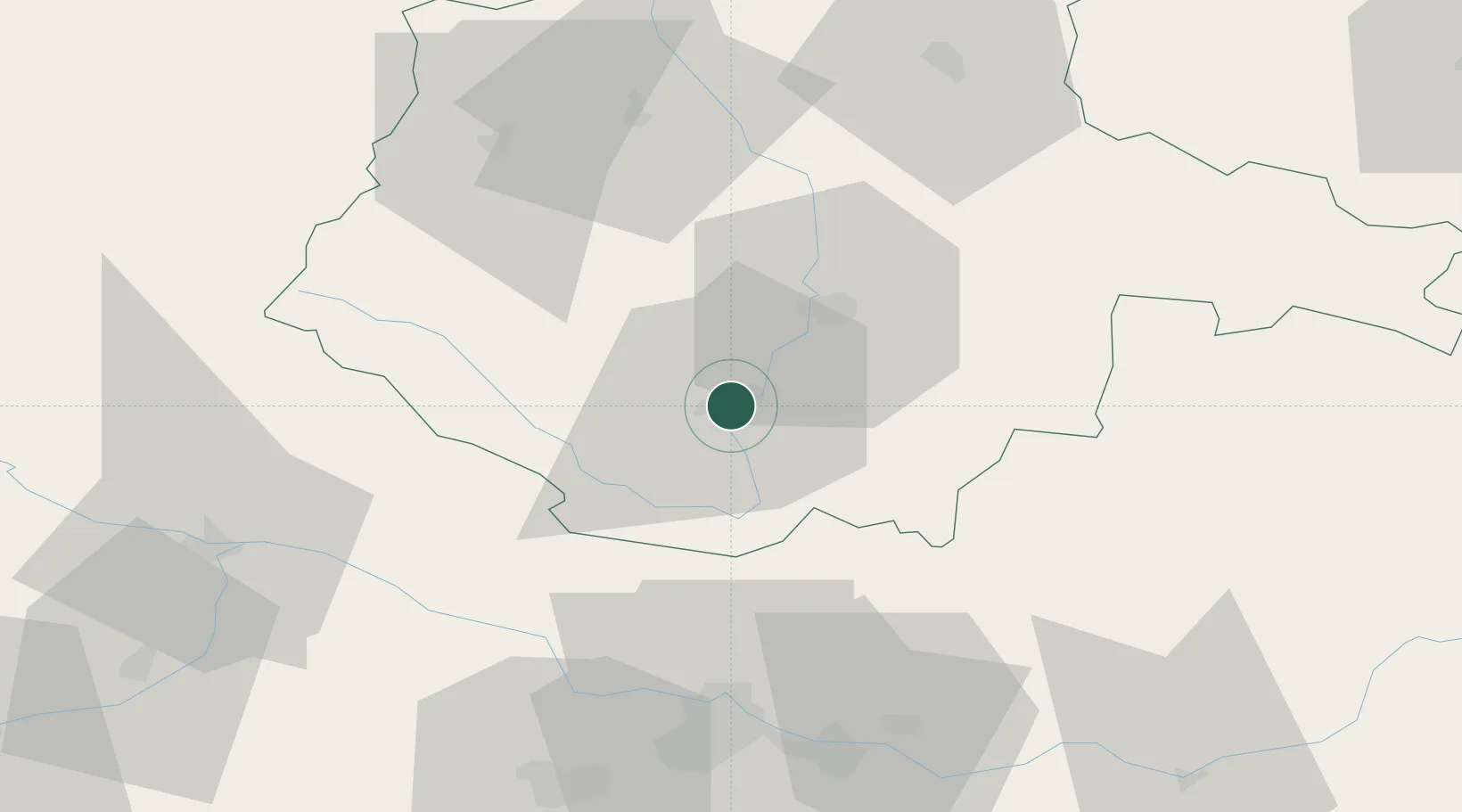
Place type
Populated place
Region
Jihočeský kraj
Population
14,146
Time zone
Europe/Prague
Elevation
492 m
Location
Nearby Logistics Neighbours
Cities
- 1Myto/Cesky Krumlov12 km
- 2Loucovice17 km
- 3Ceské Budejovice22 km
- 4Horní Dvoriste25 km
- 5Zliv26 km
Ports
- 1Monfalcone342 km
- 2Nogaro351 km
- 3Trieste355 km
- 4Grado355 km
- 5Muggia360 km
Airports
- 1České Budějovice South Bohemian Airport17 km
- 2Linz-Hörsching Airport65 km
- 3Plzeň-Líně Airport122 km
- 4Náměšť Air Base138 km
- 5Václav Havel Airport Prague143 km
Trade Zones
DatabookThe Record of Consolidated Knowledge
Czechia beyond logistics?