Transport Functions
Multimodal
Hub Profile
Place type
Populated place
Region
Jihočeský kraj
Population
1,955
Time zone
Europe/Prague
Elevation
672 m
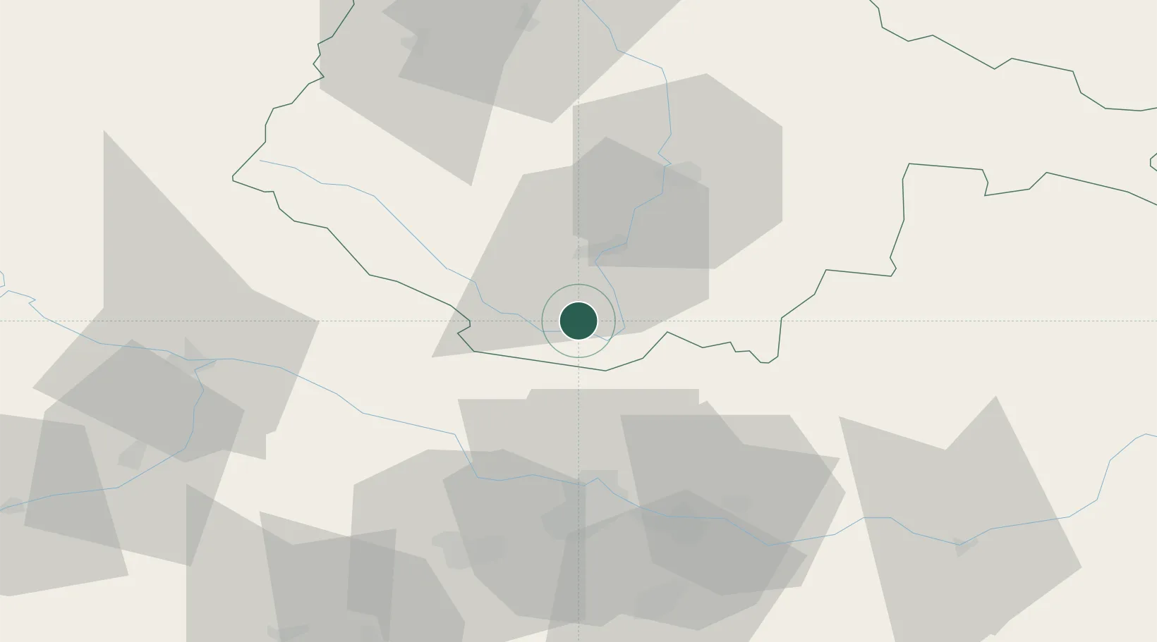
Location
Nearby Logistics Neighbours
Cities
- 1Horní Dvoriste13 km
- 2Myto/Cesky Krumlov15 km
- 3Cesky Krumlov17 km
- 4Rainbach im Mühlkreis20 km
- 5Waldburg bei Freistadt22 km
Ports
- 1Monfalcone325 km
- 2Nogaro334 km
- 3Trieste338 km
- 4Grado338 km
- 5Muggia343 km
Airports
- 1České Budějovice South Bohemian Airport34 km
- 2Linz-Hörsching Airport48 km
- 3Plzeň-Líně Airport133 km
- 4Salzburg Airport135 km
- 5Náměšť Air Base147 km
Trade Zones
DatabookThe Record of Consolidated Knowledge
Czechia beyond logistics?