Transport Functions
Multimodal
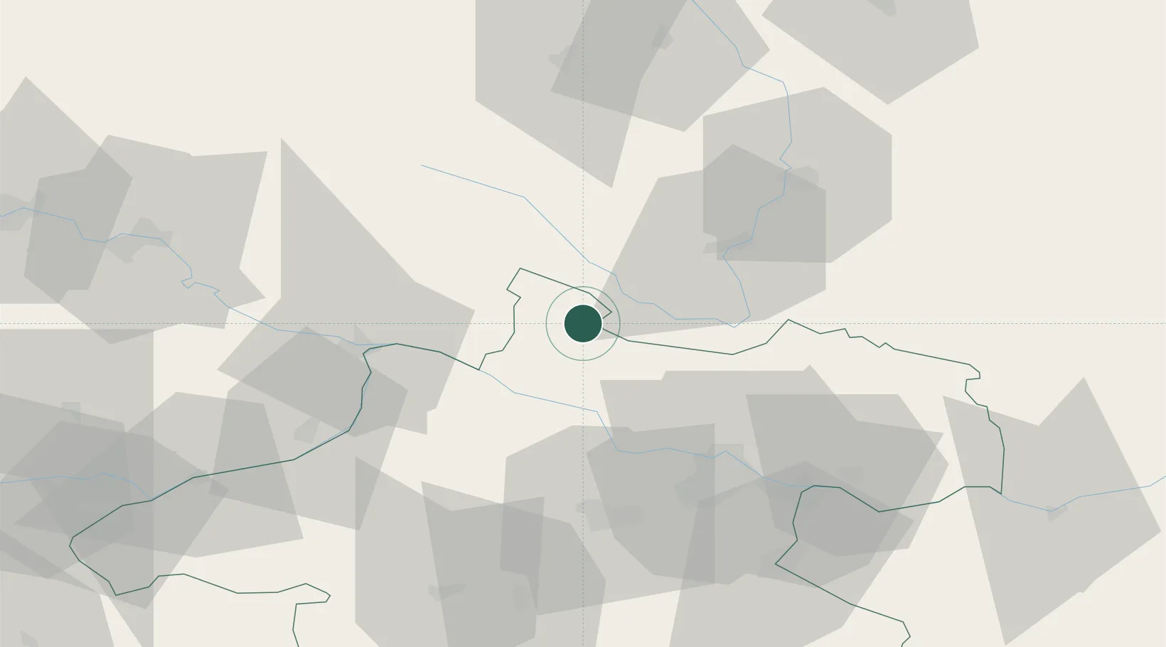
Hub Profile
Place type
Populated place
Region
Lower Austria
Population
62
Time zone
Europe/Vienna
Elevation
1,210 m
Location
Nearby Logistics Neighbours
Cities
- 1Aigen16 km
- 2Neufelden17 km
- 3Lembach18 km
- 4Sonnen19 km
- 5Neureichenau21 km
Ports
- 1Monfalcone319 km
- 2Nogaro325 km
- 3Grado330 km
- 4Trieste332 km
- 5Muggia338 km
Airports
- 1Linz-Hörsching Airport47 km
- 2České Budějovice South Bohemian Airport49 km
- 3Salzburg Airport118 km
- 4Plzeň-Líně Airport126 km
- 5Landshut Airfield143 km
Trade Zones
DatabookThe Record of Consolidated Knowledge
Austria beyond logistics?