Transport Functions
Rail
Border Crossing
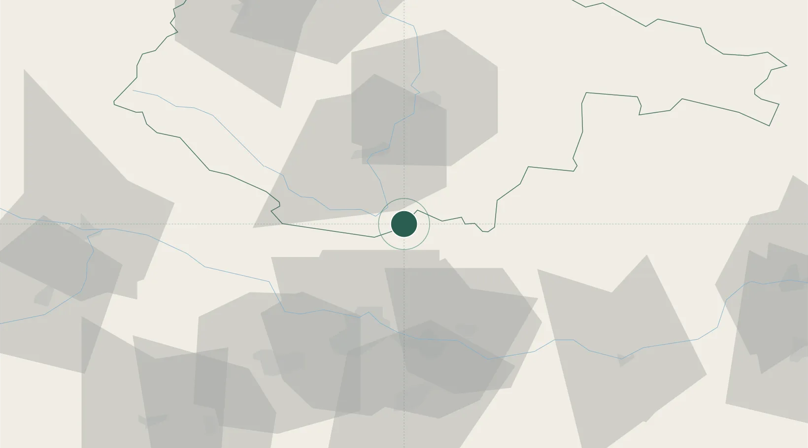
Hub Profile
Place type
Populated place
Region
Jihočeský kraj
Population
506
Time zone
Europe/Prague
Elevation
656 m
Location
Nearby Logistics Neighbours
Cities
- 1Rainbach im Mühlkreis7 km
- 2Waldburg bei Freistadt11 km
- 3Loucovice13 km
- 4Lasberg17 km
- 5Neumarkt im Mühlkreis21 km
Ports
- 1Monfalcone320 km
- 2Nogaro330 km
- 3Trieste332 km
- 4Grado334 km
- 5Muggia337 km
Airports
- 1České Budějovice South Bohemian Airport39 km
- 2Linz-Hörsching Airport44 km
- 3Salzburg Airport138 km
- 4Náměšť Air Base140 km
- 5Plzeň-Líně Airport146 km
Trade Zones
DatabookThe Record of Consolidated Knowledge
Czechia beyond logistics?