Transport Functions
Multimodal
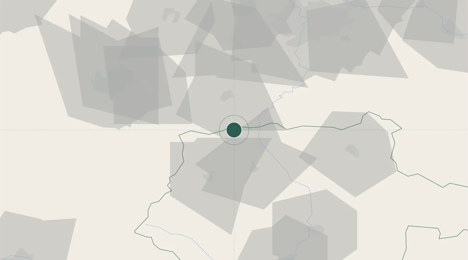
Hub Profile
Place type
Populated place
Region
Jihočeský kraj
Population
1,658
Time zone
Europe/Prague
Elevation
441 m
Location
Nearby Logistics Neighbours
Cities
- 1Drahenice6 km
- 2Blatná15 km
- 3Sedlice u Blatne19 km
- 4Kasejovice24 km
- 5Pisek25 km
Ports
- 1Monfalcone417 km
- 2Nogaro423 km
- 3Grado428 km
- 4Trieste430 km
- 5Szczecin435 km
Airports
Trade Zones
DatabookThe Record of Consolidated Knowledge
Czechia beyond logistics?