Transport Functions
Multimodal
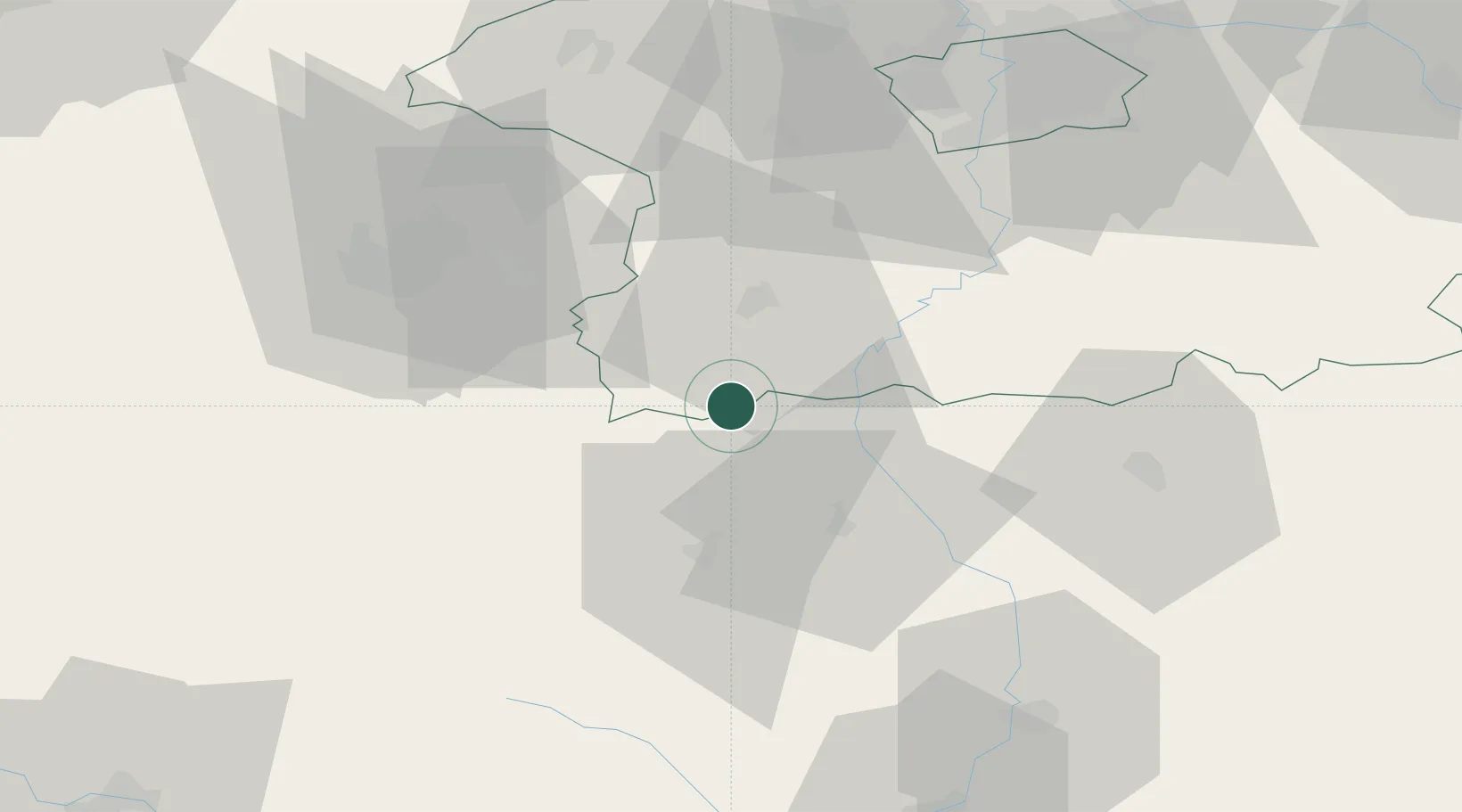
Hub Profile
Place type
Populated place
Region
Central Bohemia
Population
180
Time zone
Europe/Prague
Elevation
498 m
Location
Nearby Logistics Neighbours
Cities
- 1Mirovice6 km
- 2Blatná11 km
- 3Sedlice u Blatne17 km
- 4Kasejovice18 km
- 5Nepomuk27 km
Ports
- 1Monfalcone416 km
- 2Nogaro422 km
- 3Grado428 km
- 4Trieste430 km
- 5Szczecin436 km
Airports
Trade Zones
DatabookThe Record of Consolidated Knowledge
Czechia beyond logistics?