Transport Functions
Rail
Road
Hub Profile
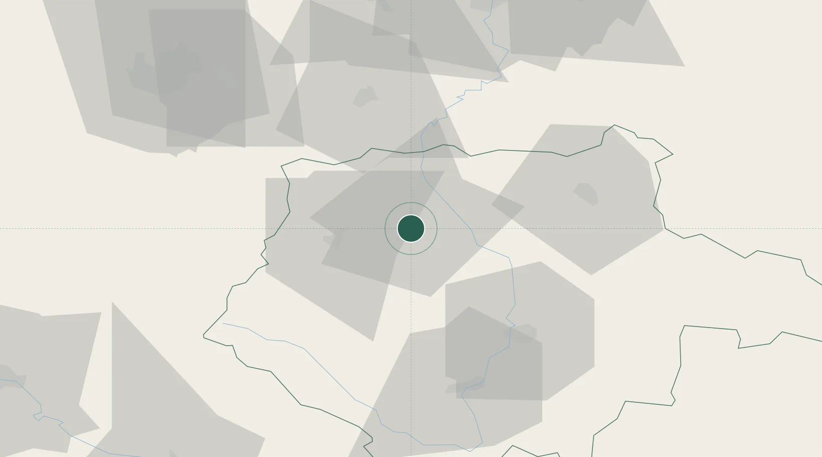
Place type
Populated place
Region
Jihočeský kraj
Population
29,774
Time zone
Europe/Prague
Elevation
374 m
Location
Nearby Logistics Neighbours
Cities
- 1Protivin12 km
- 2Sedlice u Blatne17 km
- 3Temelín18 km
- 4Sedlec20 km
- 5Blatná24 km
Ports
- 1Monfalcone394 km
- 2Nogaro401 km
- 3Grado406 km
- 4Trieste407 km
- 5Muggia412 km
Airports
- 1České Budějovice South Bohemian Airport44 km
- 2Plzeň-Líně Airport76 km
- 3Václav Havel Airport Prague89 km
- 4Prague–Kbely Air Base96 km
- 5Vodochody Airport103 km
Trade Zones
DatabookThe Record of Consolidated Knowledge
Czechia beyond logistics?