Transport Functions
Multimodal
Hub Profile
Place type
Populated place
Region
Olomoucký
Population
754
Time zone
Europe/Prague
Elevation
321 m
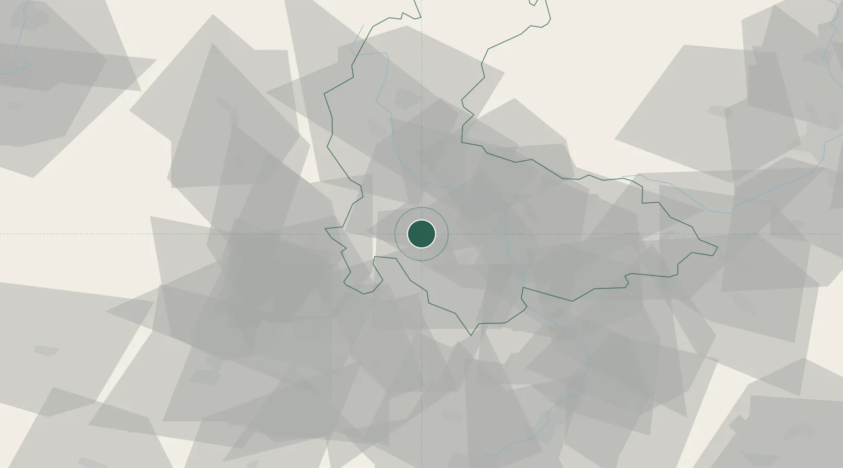
Location
Nearby Logistics Neighbours
Ports
- 1Szczecin461 km
- 2Police476 km
- 3Monfalcone494 km
- 4Trieste500 km
- 5Muggia504 km
Airports
- 1Přerov Air Base32 km
- 2Brno-Tuřany Airport52 km
- 3Kunovice Airport67 km
- 4Náměšť Air Base79 km
- 5Leoš Janáček Airport Ostrava80 km
Trade Zones
DatabookThe Record of Consolidated Knowledge
Czechia beyond logistics?