Transport Functions
Rail
Road
Hub Profile
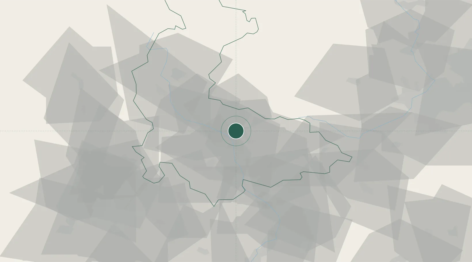
Place type
Populated place
Region
Olomoucký
Population
2,390
Time zone
Europe/Prague
Elevation
230 m
Location
Nearby Logistics Neighbours
Cities
- 1Prerov9 km
- 2Grygov13 km
- 3Litovel16 km
- 4Moravský Beroun19 km
- 5Strazna21 km
Ports
- 1Szczecin458 km
- 2Police472 km
- 3Monfalcone514 km
- 4Swinoujscie516 km
- 5Trieste519 km
Airports
- 1Přerov Air Base28 km
- 2Leoš Janáček Airport Ostrava60 km
- 3Brno-Tuřany Airport71 km
- 4Kunovice Airport72 km
- 5Náměšť Air Base101 km
Trade Zones
DatabookThe Record of Consolidated Knowledge
Czechia beyond logistics?