Transport Functions
Multimodal
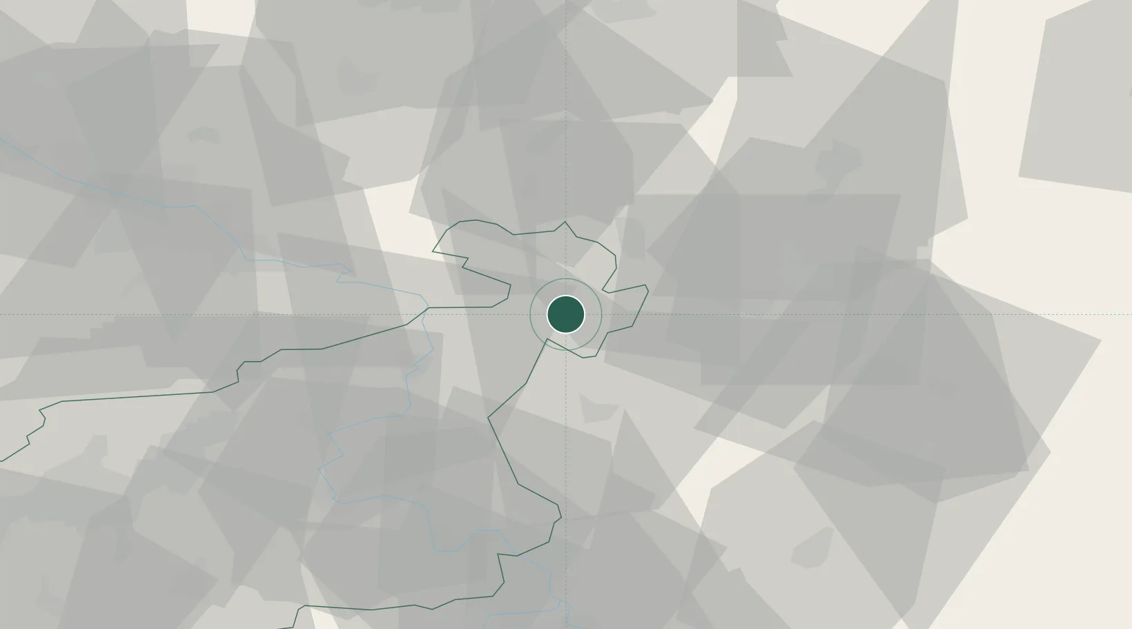
Hub Profile
Place type
Populated place
Region
Ústecký kraj
Population
1,453
Time zone
Europe/Prague
Elevation
352 m
Location
Nearby Logistics Neighbours
Cities
- 1Rumburk11 km
- 2Seifhennersdorf11 km
- 3Kamenický Senov11 km
- 4Novy Bor13 km
- 5Cvikov14 km
Ports
- 1Szczecin284 km
- 2Police300 km
- 3Swinoujscie340 km
- 4Wolgast357 km
- 5Kolobrzeg379 km
Airports
- 1Dresden Airport58 km
- 2Rothenburg/Görlitz Airfield64 km
- 3Vodochody Airport73 km
- 4Kostomlaty Airstrip80 km
- 5Prague–Kbely Air Base83 km
Trade Zones
DatabookThe Record of Consolidated Knowledge
Czechia beyond logistics?