Transport Functions
Multimodal
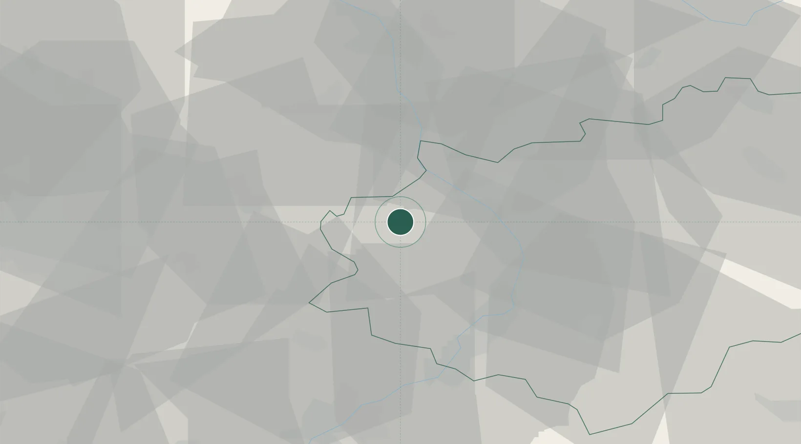
Hub Profile
Place type
Populated place
Region
Zlín
Population
1,619
Time zone
Europe/Prague
Elevation
252 m
Location
Nearby Logistics Neighbours
Cities
- 1Morkovice-Slízany6 km
- 2Popuvky9 km
- 3Kromeríz10 km
- 4Kvasice13 km
- 5Kostelec13 km
Ports
- 1Monfalcone477 km
- 2Trieste480 km
- 3Muggia484 km
- 4Rijeka Luka486 km
- 5Bakar486 km
Airports
- 1Přerov Air Base21 km
- 2Kunovice Airport27 km
- 3Brno-Tuřany Airport44 km
- 4Leoš Janáček Airport Ostrava78 km
- 5Piešťany Airport80 km
Trade Zones
DatabookThe Record of Consolidated Knowledge
Czechia beyond logistics?