Transport Functions
Port
Road
Hub Profile
Place type
Populated place
Region
Olomoucký
Time zone
Europe/Prague
Elevation
192 m
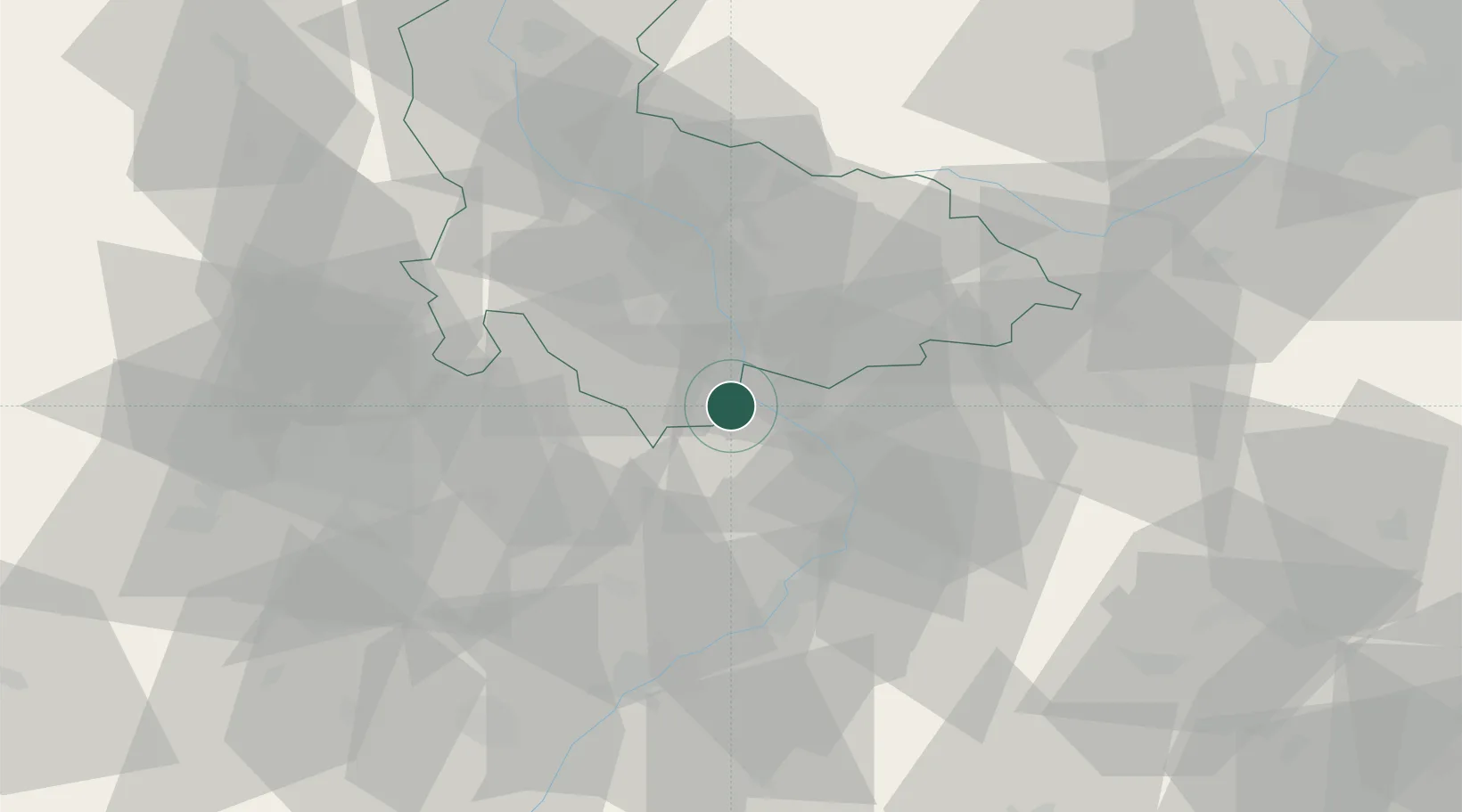
Location
Nearby Logistics Neighbours
Cities
- 1Lobodice8 km
- 2Kromeríz8 km
- 3Zborovice9 km
- 4Klenovice na Hane10 km
- 5Kostelec11 km
Ports
- 1Monfalcone485 km
- 2Trieste489 km
- 3Szczecin492 km
- 4Muggia493 km
- 5Rijeka Luka494 km
Airports
- 1Přerov Air Base13 km
- 2Kunovice Airport35 km
- 3Brno-Tuřany Airport48 km
- 4Leoš Janáček Airport Ostrava71 km
- 5Náměšť Air Base87 km
Trade Zones
DatabookThe Record of Consolidated Knowledge
Czechia beyond logistics?