Transport Functions
Rail
Road
Hub Profile
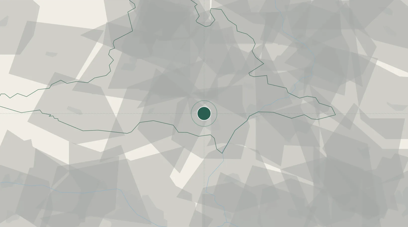
Place type
Populated place
Region
South Moravian
Population
2,162
Time zone
Europe/Prague
Elevation
166 m
Location
Nearby Logistics Neighbours
Cities
- 1Zajecí4 km
- 2Ladná6 km
- 3Moravsky Zizkov7 km
- 4Prusánky11 km
- 5Sakvice11 km
Ports
- 1Monfalcone421 km
- 2Trieste425 km
- 3Muggia429 km
- 4Rijeka Luka431 km
- 5Bakar431 km
Airports
- 1Brno-Tuřany Airport35 km
- 2Kunovice Airport49 km
- 3Malacky/Kuchyňa Air Base54 km
- 4Náměšť Air Base63 km
- 5Přerov Air Base76 km
Trade Zones
DatabookThe Record of Consolidated Knowledge
Czechia beyond logistics?