Transport Functions
Rail
Road
Hub Profile
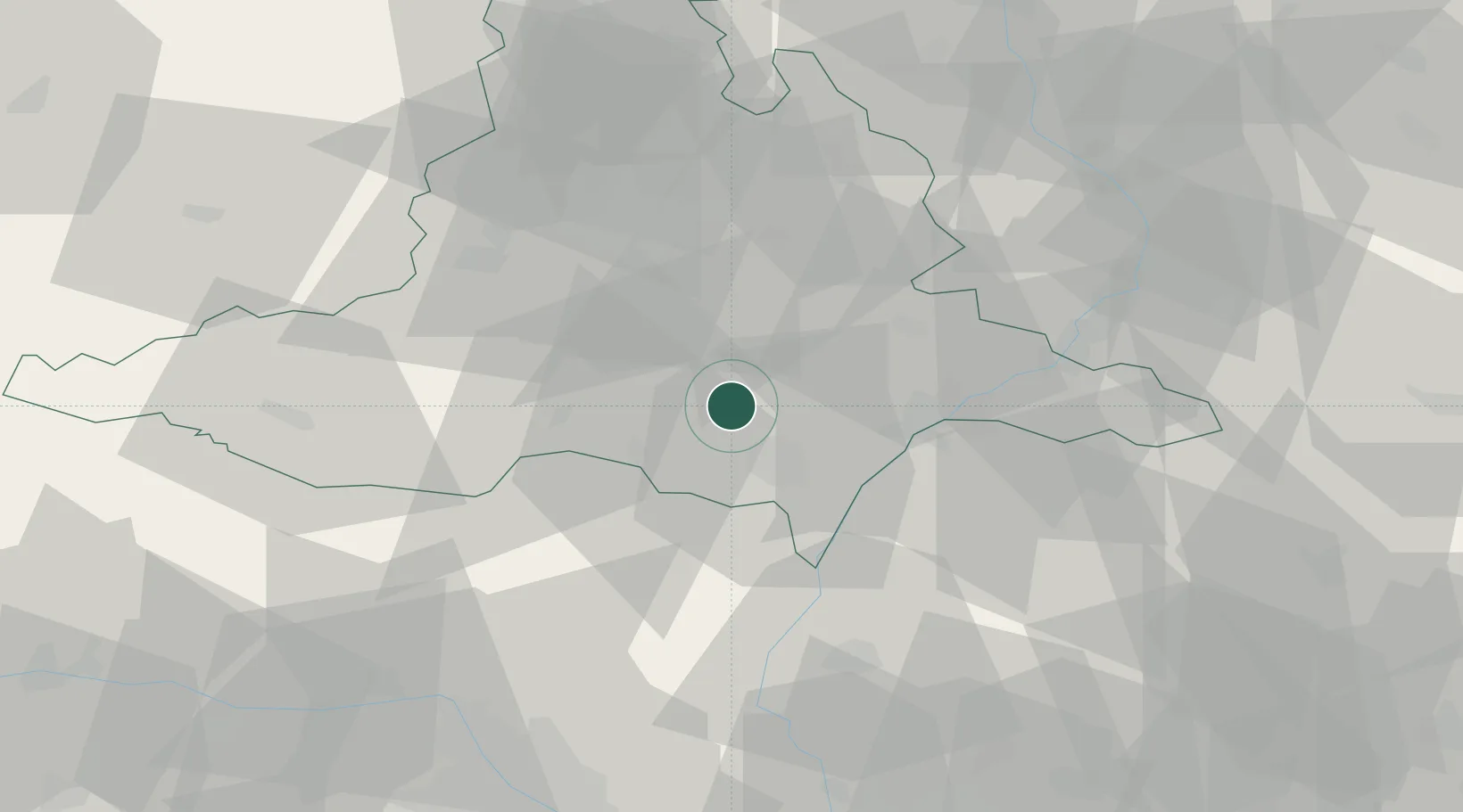
Place type
Populated place
Region
South Moravian
Population
1,492
Time zone
Europe/Prague
Elevation
241 m
Location
Nearby Logistics Neighbours
Cities
- 1Rakvice4 km
- 2Sakvice8 km
- 3Ladná11 km
- 4Dolní Vestonice11 km
- 5Moravsky Zizkov11 km
Ports
- 1Monfalcone423 km
- 2Trieste427 km
- 3Muggia431 km
- 4Rijeka Luka433 km
- 5Bakar434 km
Airports
- 1Brno-Tuřany Airport31 km
- 2Kunovice Airport50 km
- 3Malacky/Kuchyňa Air Base58 km
- 4Náměšť Air Base59 km
- 5Přerov Air Base75 km
Trade Zones
DatabookThe Record of Consolidated Knowledge
Czechia beyond logistics?