Transport Functions
Multimodal
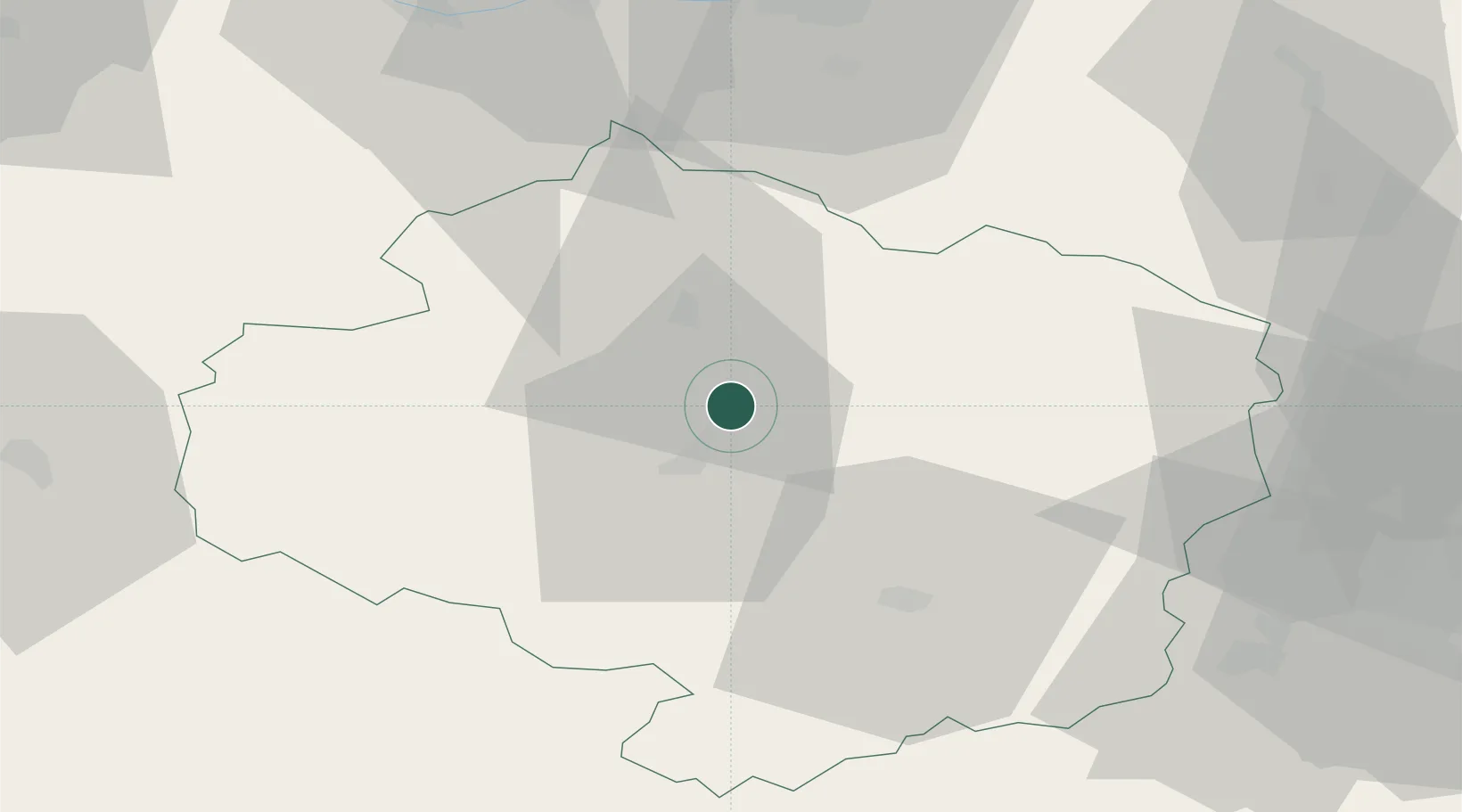
Hub Profile
Place type
Populated place
Region
Vysočina
Population
1,913
Time zone
Europe/Prague
Elevation
481 m
Location
Nearby Logistics Neighbours
Cities
- 1Havlíckuv Brod16 km
- 2Polna17 km
- 3Nové Veselí18 km
- 4Humpolec22 km
- 5Zdár nad Sázavou24 km
Ports
- 1Monfalcone440 km
- 2Szczecin444 km
- 3Trieste449 km
- 4Nogaro454 km
- 5Muggia454 km
Airports
- 1Náměšť Air Base49 km
- 2Čáslav Air Base54 km
- 3Pardubice Airport60 km
- 4Brno-Tuřany Airport84 km
- 5Kostomlaty Airstrip96 km
Trade Zones
DatabookThe Record of Consolidated Knowledge
Czechia beyond logistics?