Transport Functions
Multimodal
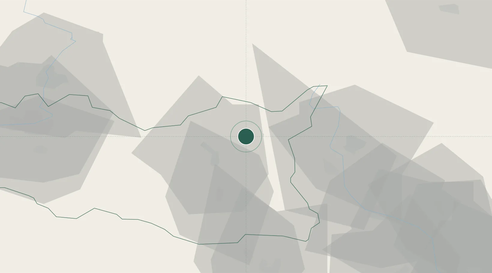
Hub Profile
Place type
Populated place
Region
Pardubický
Population
722
Time zone
Europe/Prague
Elevation
391 m
Location
Nearby Logistics Neighbours
Cities
- 1Jablonné nad Orlicí4 km
- 2Lanskroun10 km
- 3Pisecna u Jeseniku10 km
- 4Cervená Voda14 km
- 5Ceská Trebová15 km
Ports
- 1Szczecin405 km
- 2Police420 km
- 3Swinoujscie463 km
- 4Kolobrzeg474 km
- 5Wolgast489 km
Airports
- 1Pardubice Airport59 km
- 2Čáslav Air Base85 km
- 3Přerov Air Base88 km
- 4Brno-Tuřany Airport95 km
- 5Náměšť Air Base98 km
DatabookThe Record of Consolidated Knowledge
Czechia beyond logistics?