Transport Functions
Multimodal
Hub Profile
Region
PA
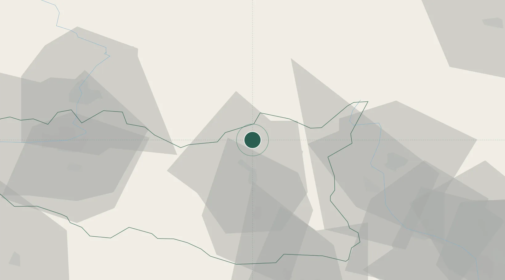
Location
Nearby Logistics Neighbours
Cities
- 1Vermerovice10 km
- 2Jablonné nad Orlicí11 km
- 3Rokytnice v Orlickych Horach13 km
- 4Vamberk13 km
- 5Doudleby nad Orlicí15 km
Ports
- 1Szczecin397 km
- 2Police412 km
- 3Swinoujscie455 km
- 4Kolobrzeg467 km
- 5Wolgast481 km
Airports
- 1Pardubice Airport51 km
- 2Čáslav Air Base77 km
- 3Přerov Air Base98 km
- 4Náměšť Air Base101 km
- 5Brno-Tuřany Airport102 km
DatabookThe Record of Consolidated Knowledge
Czechia beyond logistics?