Transport Functions
Multimodal
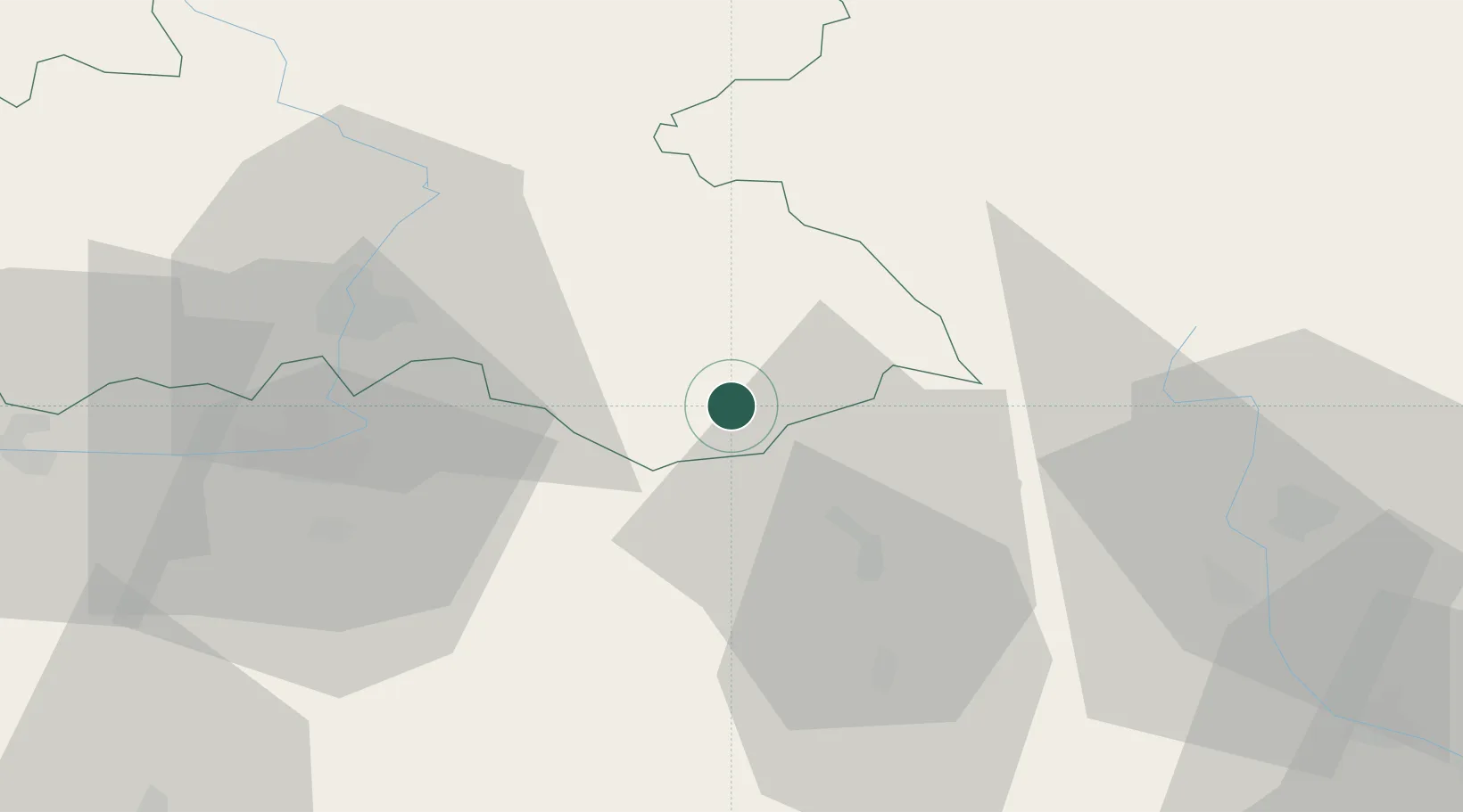
Hub Profile
Place type
Populated place
Region
Královéhradecký kraj
Population
4,768
Time zone
Europe/Prague
Elevation
319 m
Location
Nearby Logistics Neighbours
Cities
- 1Doudleby nad Orlicí2 km
- 2Chocen12 km
- 3Kvasiny13 km
- 4Pisecna u Jeseniku13 km
- 5Rokytnice v Orlickych Horach15 km
Ports
- 1Szczecin388 km
- 2Police403 km
- 3Swinoujscie446 km
- 4Kolobrzeg461 km
- 5Wolgast471 km
Airports
- 1Pardubice Airport40 km
- 2Čáslav Air Base67 km
- 3Kostomlaty Airstrip98 km
- 4Náměšť Air Base105 km
- 5Brno-Tuřany Airport110 km
Trade Zones
DatabookThe Record of Consolidated Knowledge
Czechia beyond logistics?