Transport Functions
Rail
Road
Airport
Hub Profile
Place type
Populated place
Region
Olomoucký
Population
40,906
Time zone
Europe/Prague
Elevation
221 m
Logistics facilities
1
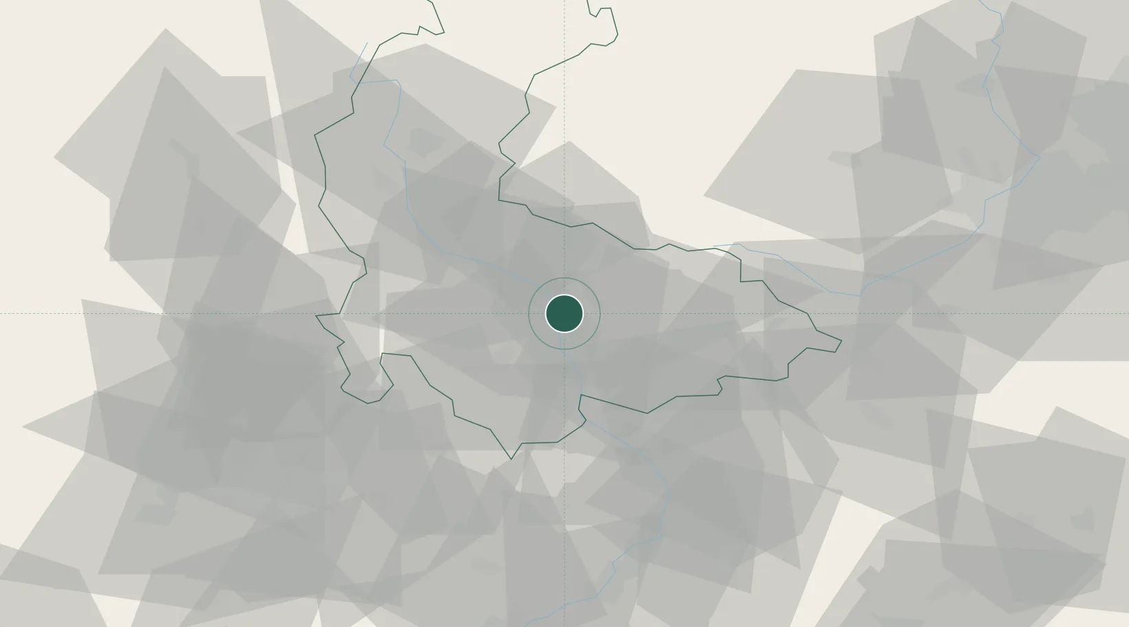
Location
Nearby Logistics Neighbours
Cities
- 1Grygov5 km
- 2Bohunovice9 km
- 3Smrzice17 km
- 4Kralice na Hané17 km
- 5Bedihost18 km
Ports
- 1Szczecin466 km
- 2Police481 km
- 3Monfalcone507 km
- 4Trieste512 km
- 5Muggia516 km
Airports
- 1Přerov Air Base20 km
- 2Leoš Janáček Airport Ostrava61 km
- 3Kunovice Airport63 km
- 4Brno-Tuřany Airport65 km
- 5Náměšť Air Base96 km
Trade Zones
DatabookThe Record of Consolidated Knowledge
Czechia beyond logistics?