UN/LOCODE hub · Czechia
CZMYB
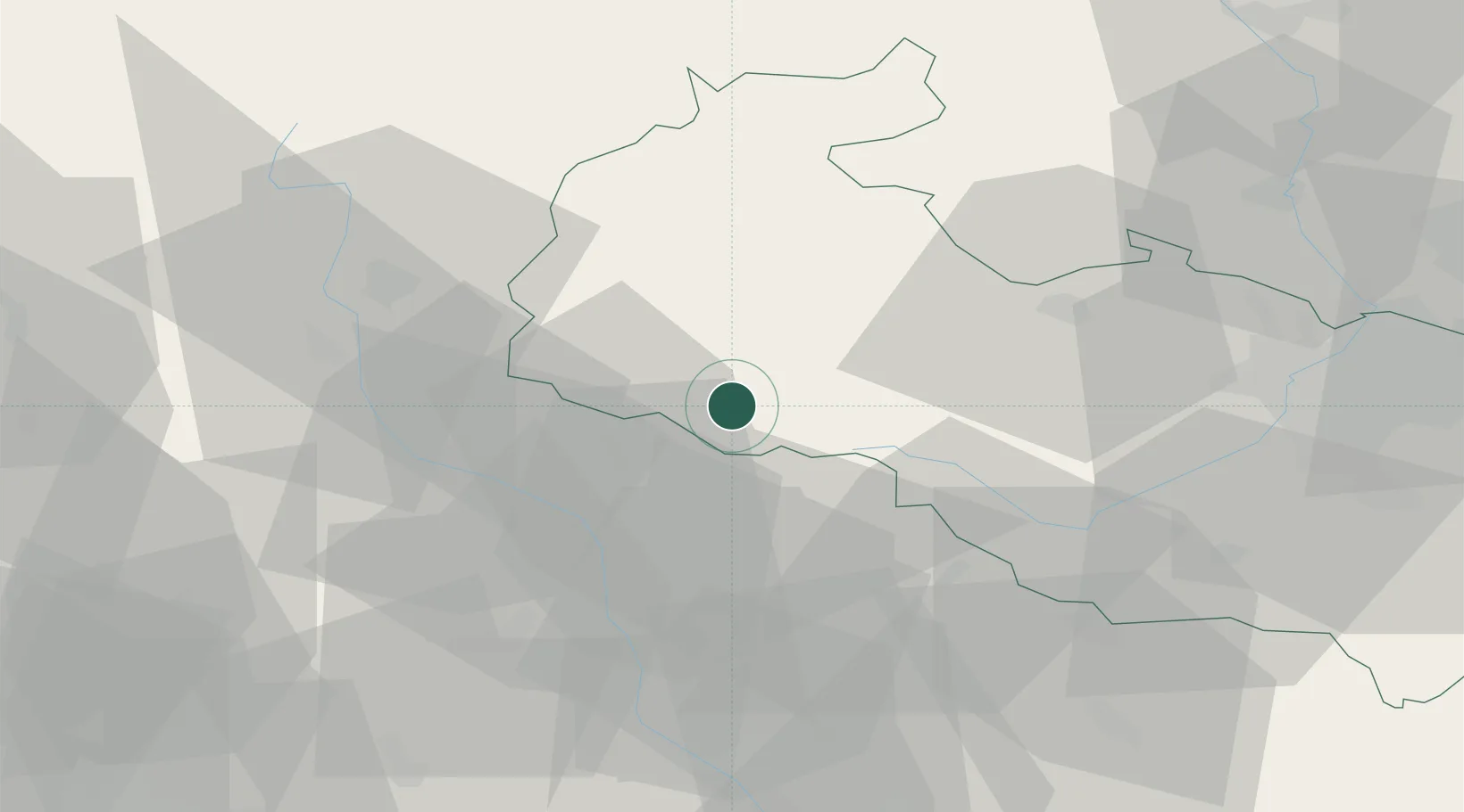
Moravský Beroun
49.8000°, 17.4500°
3,369
Population
2
Transport functions
Transport Functions
Road
Multimodal
Hub Profile
Place type
Populated place
Region
Olomoucký
Population
3,369
Time zone
Europe/Prague
Elevation
564 m
Location
Nearby Logistics Neighbours
Cities
- 1Budisov nad Budisovkou13 km
- 2Bohunovice19 km
- 3Potstat22 km
- 4Strazna23 km
- 5Hory23 km
Ports
- 1Szczecin449 km
- 2Police464 km
- 3Swinoujscie507 km
- 4Monfalcone533 km
- 5Trieste538 km
Airports
- 1Přerov Air Base42 km
- 2Leoš Janáček Airport Ostrava49 km
- 3Kunovice Airport86 km
- 4Brno-Tuřany Airport91 km
- 5Žilina-Dolný Hričov Airport105 km
Trade Zones
DatabookThe Record of Consolidated Knowledge
Czechia beyond logistics?