Transport Functions
Rail
Road
Hub Profile
Place type
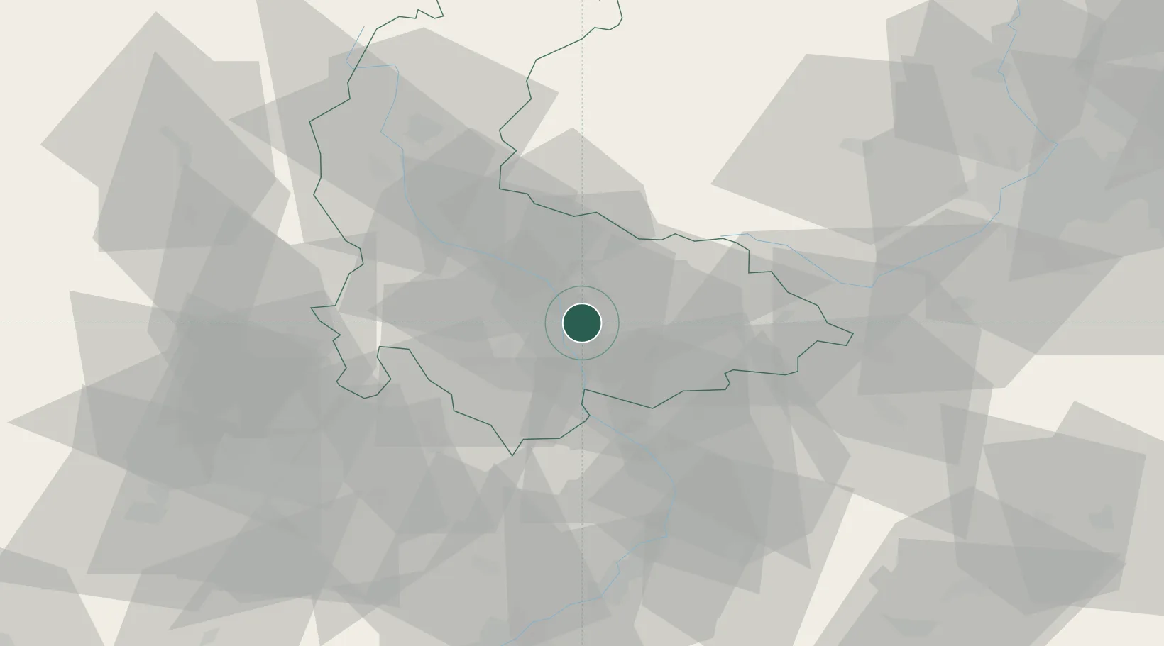
Populated place
Region
Olomoucký
Population
1,385
Time zone
Europe/Prague
Elevation
204 m
Location
Nearby Logistics Neighbours
Cities
- 1Prerov5 km
- 2Bohunovice13 km
- 3Kralice na Hané15 km
- 4Dolni Ujezd (u Prerova)16 km
- 5Osek nad Becvou16 km
Ports
- 1Szczecin471 km
- 2Police485 km
- 3Monfalcone505 km
- 4Trieste509 km
- 5Muggia514 km
Airports
- 1Přerov Air Base15 km
- 2Kunovice Airport59 km
- 3Leoš Janáček Airport Ostrava60 km
- 4Brno-Tuřany Airport63 km
- 5Náměšť Air Base96 km
Trade Zones
DatabookThe Record of Consolidated Knowledge
Czechia beyond logistics?