Transport Functions
Road
Multimodal
Hub Profile
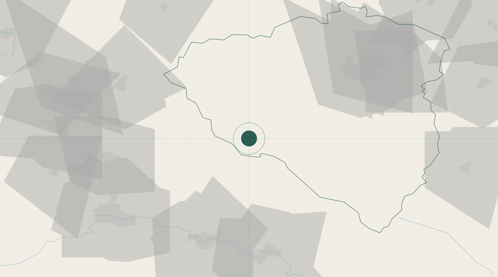
Place type
Populated place
Region
Plzeň Region
Population
670
Time zone
Europe/Prague
Elevation
490 m
Location
Nearby Logistics Neighbours
Cities
- 1Ceská Kubice6 km
- 2Waldmünchen10 km
- 3Kout na Sumave13 km
- 4Kdyne16 km
- 5Bela nad Radbuzou22 km
Ports
- 1Nogaro408 km
- 2Monfalcone408 km
- 3Grado415 km
- 4Trieste425 km
- 5Muggia430 km
Airports
- 1Plzeň-Líně Airport44 km
- 2Grafenwöhr Army Air Field71 km
- 3Hohenfels Army Airfield75 km
- 4Karlovy Vary Airport88 km
- 5Bayreuth Airport106 km
Trade Zones
DatabookThe Record of Consolidated Knowledge
Czechia beyond logistics?