Transport Functions
Port
Rail
Road
Hub Profile
Place type
Provincial seat
Region
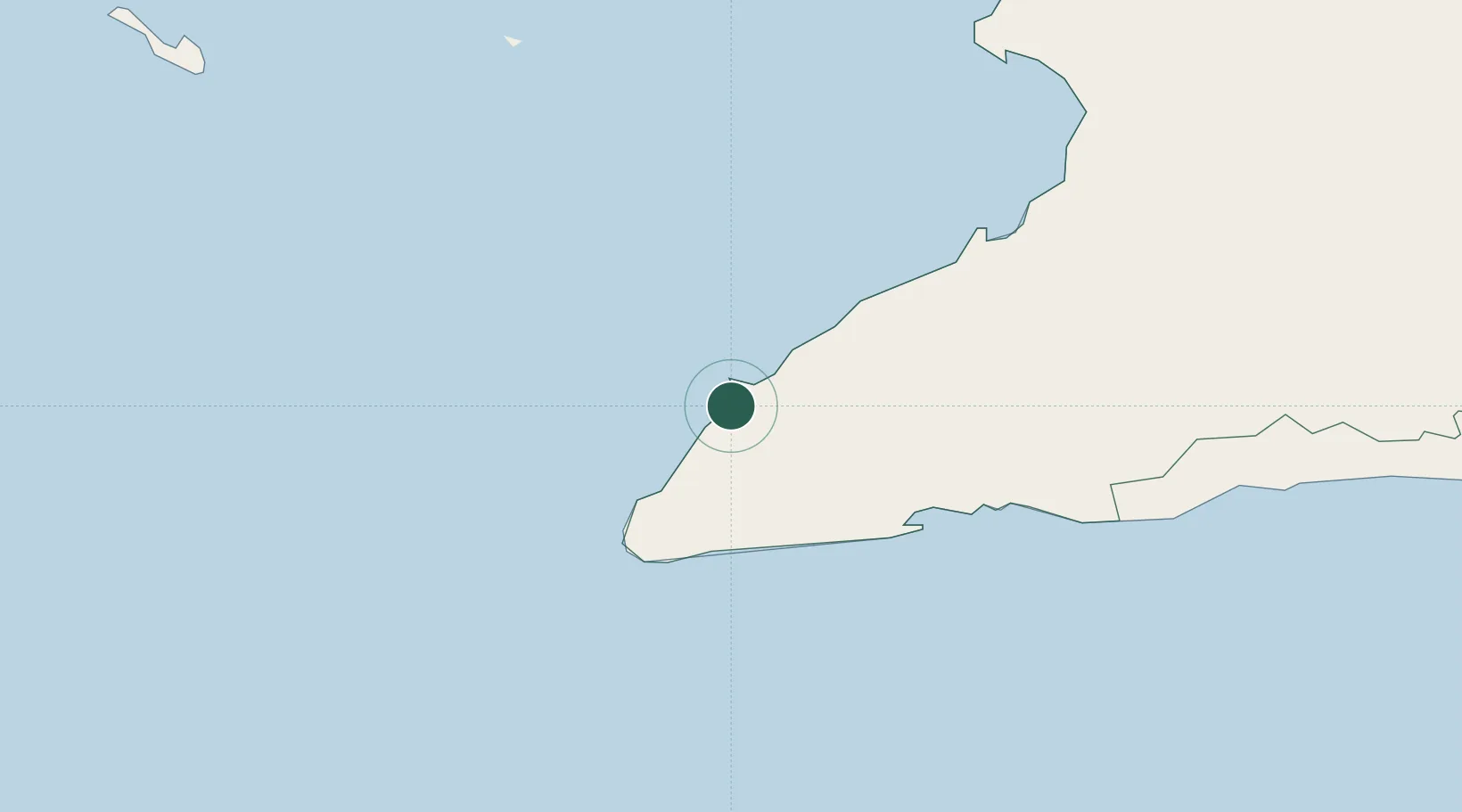
Granma Province
Population
18,771
Time zone
America/Havana
Elevation
11 m
Location
Nearby Logistics Neighbours
Cities
- 1Media Luna19 km
- 2Ceiba Hueca32 km
- 3Las Tunas120 km
- 4Camagüey152 km
- 5Puerto Padre164 km
Ports
- 1Media Luna19 km
- 2Ceiba Hueca33 km
- 3Manzanillo59 km
- 4Guayabal72 km
- 5Santa Cruz del Sur83 km
Airports
Trade Zones
- 1Cazoumar Free Zone180 km
- 2Montego Bay Free Zone181 km
- 3Jamaica-Gansu Industrial Park232 km
- 4Spanish Town Free Zone237 km
- 5Caymanas Special Economic Zone240 km
DatabookThe Record of Consolidated Knowledge
Cuba beyond logistics?