Transport Functions
Port
Road
Hub Profile
Place type
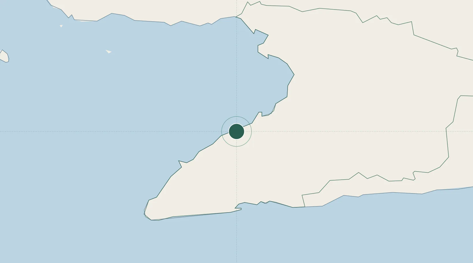
Populated place
Region
Granma Province
Time zone
America/Havana
Elevation
9 m
Location
Nearby Logistics Neighbours
Cities
- 1Media Luna13 km
- 2Niquero32 km
- 3Las Tunas91 km
- 4Puerto Padre133 km
- 5Puerto Manatí138 km
Ports
- 1Media Luna13 km
- 2Manzanillo27 km
- 3Guayabal61 km
- 4Santa Cruz del Sur87 km
- 5Manati139 km
Airports
Trade Zones
- 1Cazoumar Free Zone205 km
- 2Montego Bay Free Zone205 km
- 3Spanish Town Free Zone249 km
- 4Caymanas Special Economic Zone251 km
- 5Jamaica-Gansu Industrial Park252 km
DatabookThe Record of Consolidated Knowledge
Cuba beyond logistics?