Medium airport · Bahamas
Duncan Town AirportMYRD
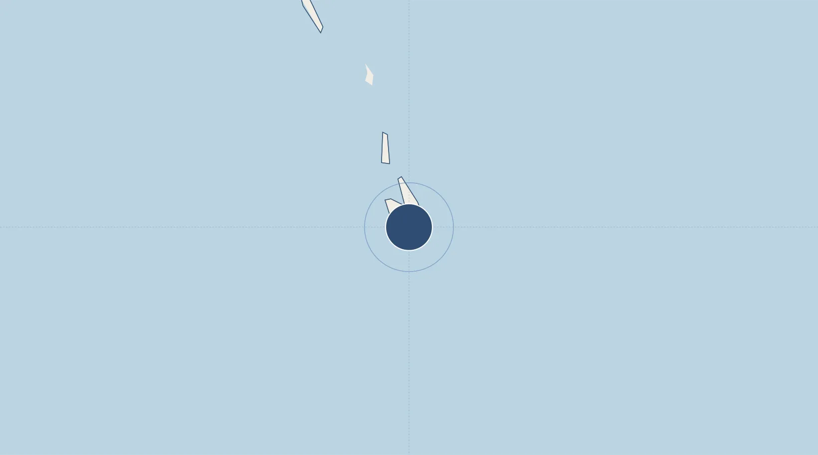
22.1818°, -75.7295°
3,800 ft
Longest runway
1
Runways
6 ft
Elevation
Runway & Layout

Runways · 1
| Runway | Dimensions | Surface | True heading | Lit |
|---|---|---|---|---|
| 13/31 | 3,800 × 75ft | Asphalt | 130° | — |
Airport Specifications
IATA code
DCT
ICAO code
MYRD
Airport class
Medium airport
Scheduled service
No
Runway surface
Asphalt
Served city
Duncan Town
Location
Nearby Logistics Neighbours
Airports
- 1Hard Bargain Airport125 km
- 2Deadman's Cay Airport129 km
- 3Exuma International Airport154 km
- 4Stella Maris Airport163 km
- 5(Duplicate}Holguín Air Base167 km
Cities
- 1Puerto da Vita125 km
- 2Gibara127 km
- 3Banes135 km
- 4Puerto Padre141 km
- 5Puerto Manatí146 km
Ports
- 1Vita123 km
- 2Puerto Padre130 km
- 3Banes141 km
- 4Manati144 km
- 5Antilla150 km
Trade Zones
- 1Cazoumar Free Zone473 km
- 2Montego Bay Free Zone473 km
- 3Caracol Free Zone477 km
- 458 HWT Tech Park478 km
- 5FTZ de Trou du Nord478 km
DatabookThe Record of Consolidated Knowledge
Bahamas beyond logistics?