Transport Functions
Port
Road
Hub Profile
Region
G
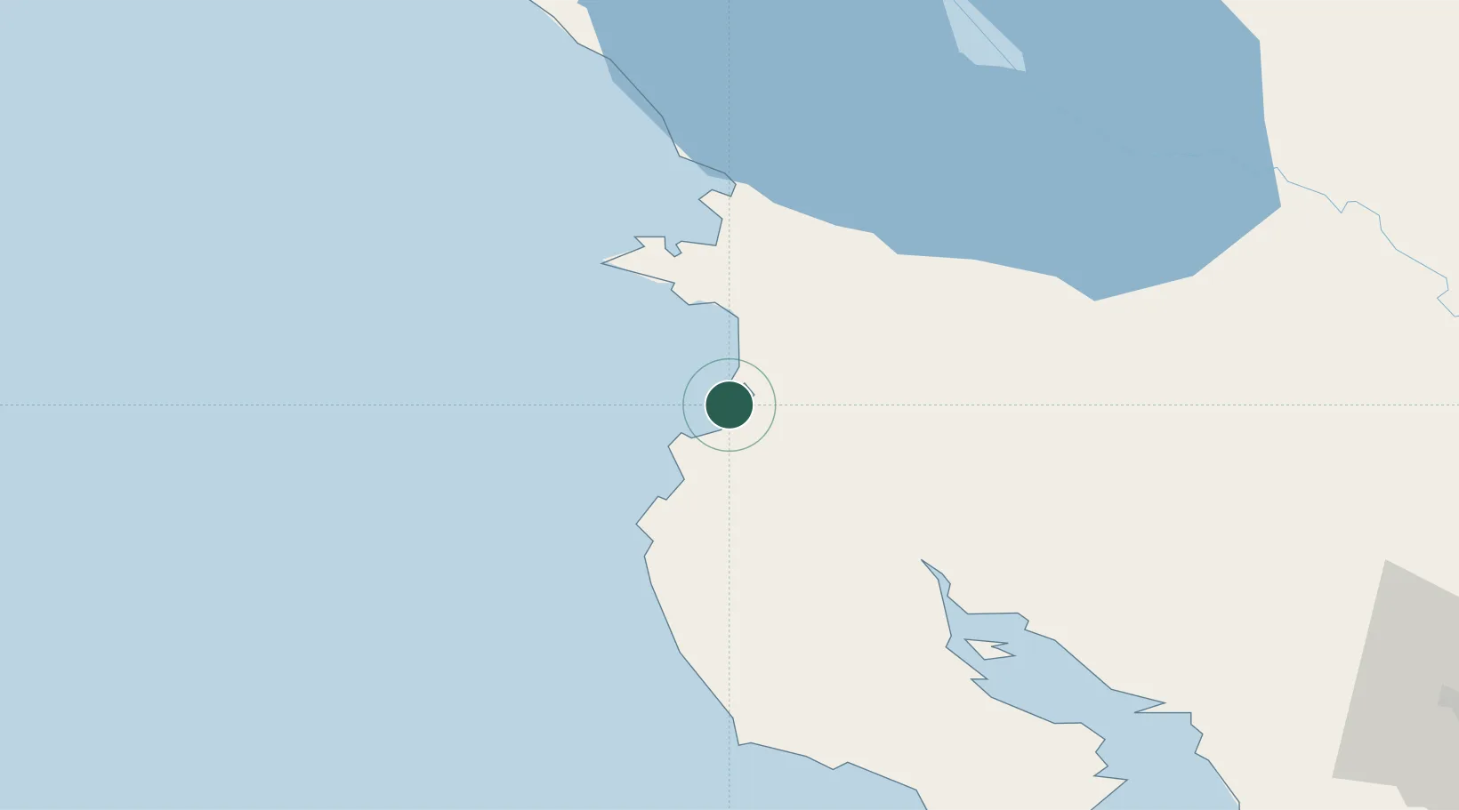
Location
Nearby Logistics Neighbours
Cities
- 1Guardia10 km
- 2Filadelfia21 km
- 3Playa Conchal26 km
- 4Ciruelas38 km
- 5Bagaces48 km
Ports
- 1Puntarenas116 km
- 2Puerto Caldera130 km
- 3Puerto Quepos211 km
- 4Puerto Sandino212 km
- 5Bluefields263 km
Airports
- 1Daniel Oduber Quirós International Airport15 km
- 2Nosara Airport69 km
- 3Upala Airport80 km
- 4Omtepe Airport103 km
- 5Los Chiles Airport117 km
Trade Zones
DatabookThe Record of Consolidated Knowledge
Costa Rica beyond logistics?