Transport Functions
Port
Road
Multimodal
Hub Profile
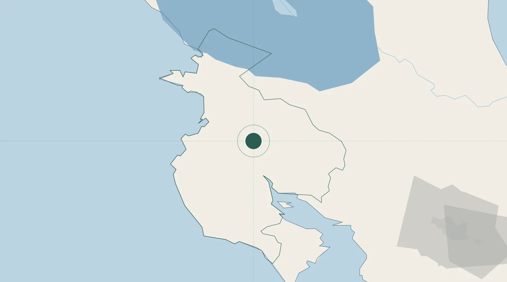
Place type
Populated place
Region
Puntarenas Province
Time zone
America/Costa_Rica
Elevation
73 m
Location
Nearby Logistics Neighbours
Cities
- 1Bagaces12 km
- 2Paso Real21 km
- 3Filadelfia24 km
- 4Guardia28 km
- 5Barva37 km
Ports
- 1Puntarenas81 km
- 2Puerto Caldera95 km
- 3Puerto Quepos176 km
- 4Bluefields243 km
- 5Puerto Sandino243 km
Airports
- 1Daniel Oduber Quirós International Airport24 km
- 2Upala Airport57 km
- 3Nosara Airport67 km
- 4La Fortuna Arenal Airport84 km
- 5Los Chiles Airport92 km
Trade Zones
- 1Zona Franca Puntarenas, SA90 km
- 2Puntarenas Free Trade Zone100 km
- 3Zona Franca Nicaragua119 km
- 4Activa Industrial Park121 km
- 5AAA Top Talent Free Trade Zone121 km
DatabookThe Record of Consolidated Knowledge
Costa Rica beyond logistics?