Transport Functions
Port
Road
Multimodal
Hub Profile
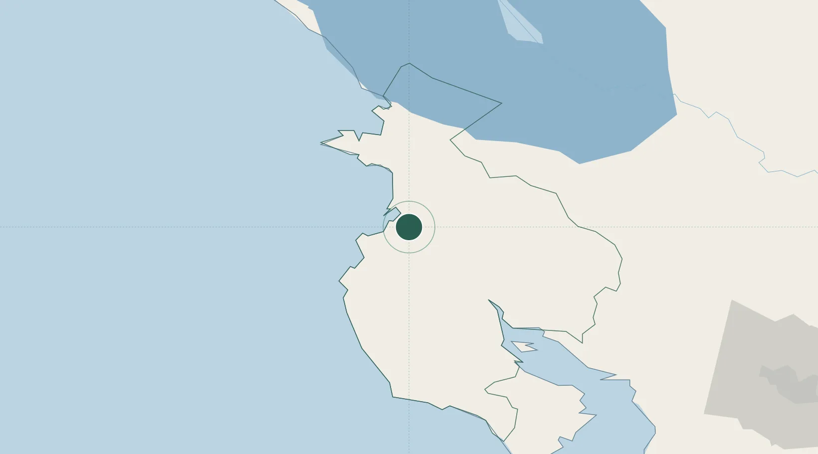
Place type
Populated place
Region
Guanacaste Province
Time zone
America/Costa_Rica
Elevation
33 m
Location
Nearby Logistics Neighbours
Cities
- 1Golfo de Papagayo10 km
- 2Filadelfia14 km
- 3Ciruelas28 km
- 4Playa Conchal29 km
- 5Bagaces38 km
Ports
- 1Puntarenas106 km
- 2Puerto Caldera121 km
- 3Puerto Quepos201 km
- 4Puerto Sandino220 km
- 5Bluefields258 km
Airports
- 1Daniel Oduber Quirós International Airport7 km
- 2Nosara Airport66 km
- 3Upala Airport73 km
- 4Omtepe Airport107 km
- 5Los Chiles Airport111 km
Trade Zones
- 1Zona Franca Nicaragua102 km
- 2Zona Franca Puntarenas, SA116 km
- 3Puntarenas Free Trade Zone126 km
- 4Activa Industrial Park149 km
- 5AAA Top Talent Free Trade Zone149 km
DatabookThe Record of Consolidated Knowledge
Costa Rica beyond logistics?