Transport Functions
Road
Multimodal
Hub Profile
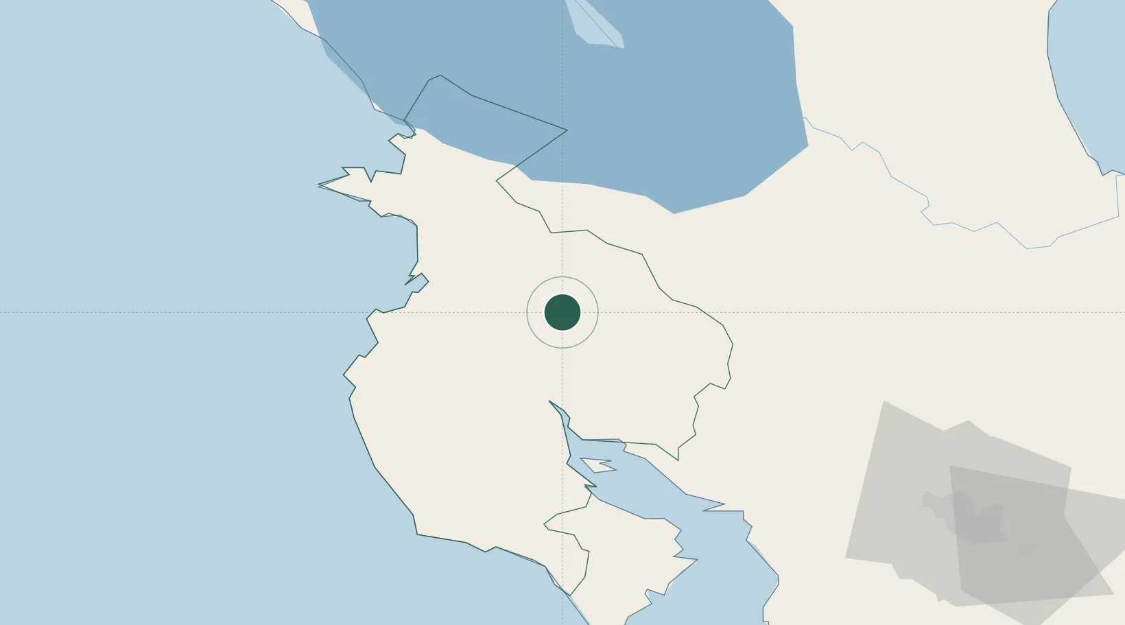
Place type
Populated place
Region
Guanacaste Province
Population
4,108
Time zone
America/Costa_Rica
Elevation
84 m
Location
Nearby Logistics Neighbours
Cities
- 1Ciruelas12 km
- 2Paso Real14 km
- 3Quebrada Grande35 km
- 4Filadelfia36 km
- 5Guardia38 km
Ports
- 1Puntarenas76 km
- 2Puerto Caldera90 km
- 3Puerto Quepos170 km
- 4Bluefields232 km
- 5El Bluff235 km
Airports
- 1Daniel Oduber Quirós International Airport33 km
- 2Upala Airport47 km
- 3La Fortuna Arenal Airport74 km
- 4Nosara Airport76 km
- 5Los Chiles Airport82 km
Trade Zones
DatabookThe Record of Consolidated Knowledge
Costa Rica beyond logistics?