Medium airport · Colombia
Vanguardia AirportSKVV
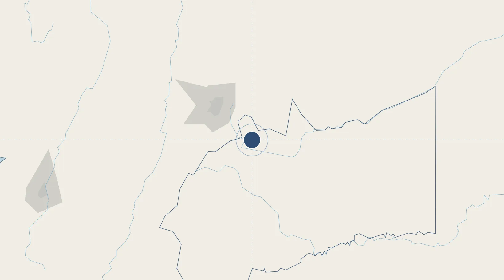
4.1679°, -73.6138°
5,616 ft
Longest runway
1
Runways
1,394 ft
Elevation
Runway & Layout

Radio Frequencies
TWR
118.7 MHz
APP
119.3 MHz
VILLAVICENCIO APP
RDO
348.8 MHz
VILLAVICENCIO RDO
Runways · 1
| Runway | Dimensions | Surface | True heading | Lit |
|---|---|---|---|---|
| 05/23 | 5,616 × 98ft | Asphalt | 039° | ✓ |
Airport Specifications
IATA code
VVC
ICAO code
SKVV
Airport class
Medium airport
Scheduled service
Yes
Runway surface
Asphalt
Served city
Villavicencio
Location
Nearby Logistics Neighbours
Airports
- 1Gomez Nino Apiay Air Base12 km
- 2El Dorado International Airport84 km
- 3Santiago Vila Airport132 km
- 4Tunja Airport156 km
- 5Perales Airport171 km
Ports
- 1Buenaventura384 km
- 2Turbo555 km
- 3Covenas627 km
- 4Tumaco627 km
- 5Covenas Offshore Term.637 km
Trade Zones
- 1Bogota Free Trade Zone83 km
- 2Metropolitana Free Trade Zone88 km
- 3Zona Franca INTEXZONA89 km
- 4Celta Trade Park89 km
- 5Occidente Free Trade Zone93 km
DatabookThe Record of Consolidated Knowledge
Colombia beyond logistics?