Medium airport · Colombia
Gomez Nino Apiay Air BaseSKAP
4.0761°, -73.5627°
8,204 ft
Longest runway
2
Runways
1,207 ft
Elevation
Runway & Layout

Radio Frequencies
TWR
126.2 MHz
APP
119.3 MHz
VILLAVICENCIO APP
Navaids
AP NDB Apiay 270 kHz
PY NDB Apiay 250 kHz
VVC VOR-DME Villavicencio 116.70 MHz
VVC NDB Villavicencio 370 kHz
Runways · 2
| Runway | Dimensions | Surface | True heading | Lit |
|---|---|---|---|---|
| 10/28 | 8,204 × 164ft | Asphalt | 095° | ✓ |
| 09/27 | — | Unknown | — | — |
Airport Specifications
IATA code
API
ICAO code
SKAP
Airport class
Medium airport
Scheduled service
No
Runway surface
Asphalt
Served city
Apiay
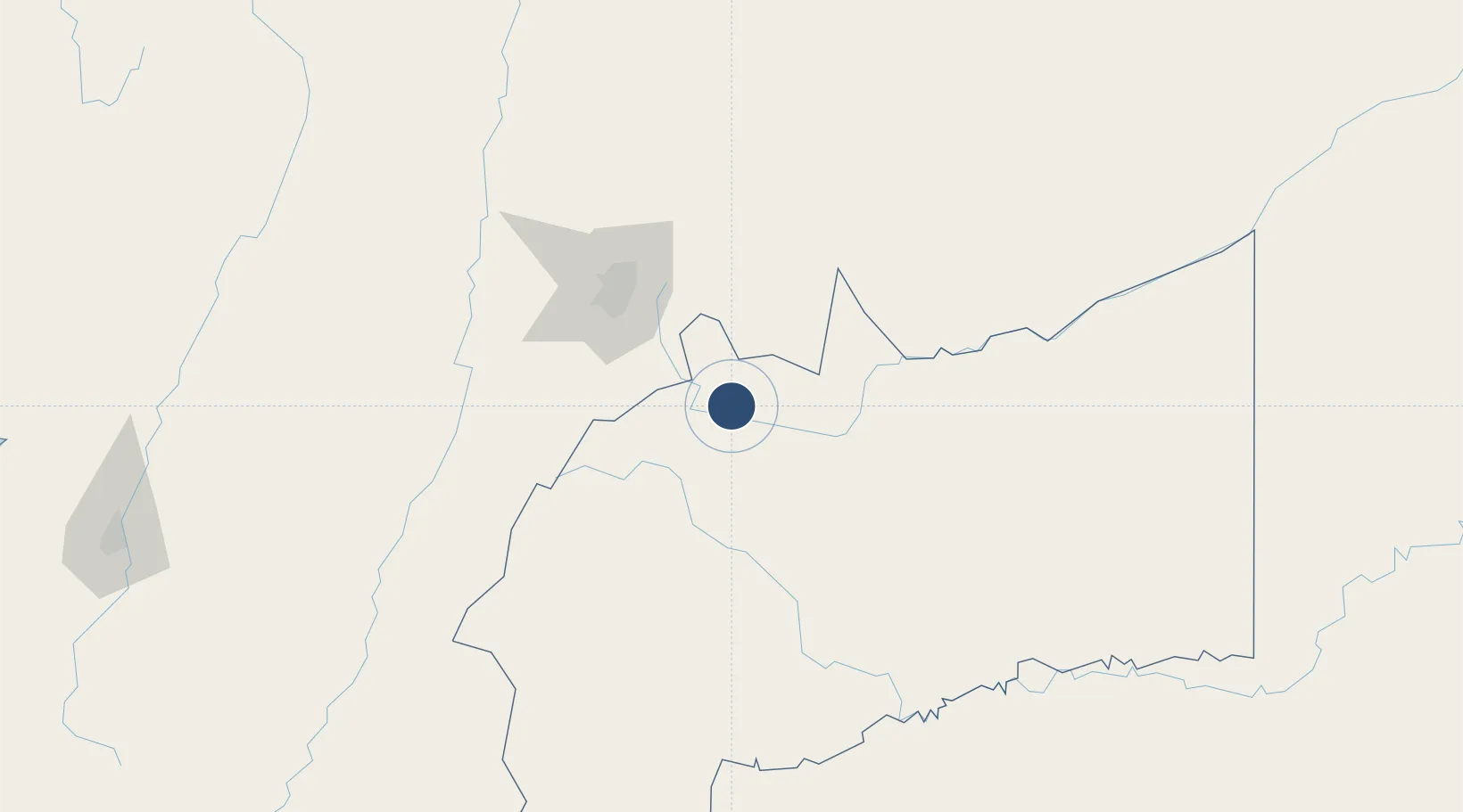
Location
Nearby Logistics Neighbours
Airports
- 1Vanguardia Airport12 km
- 2El Dorado International Airport95 km
- 3Santiago Vila Airport139 km
- 4Tunja Airport165 km
- 5Perales Airport178 km
Ports
- 1Buenaventura389 km
- 2Turbo567 km
- 3Tumaco628 km
- 4Covenas638 km
- 5Covenas Offshore Term.649 km
Trade Zones
- 1Bogota Free Trade Zone94 km
- 2Metropolitana Free Trade Zone99 km
- 3Zona Franca INTEXZONA100 km
- 4Celta Trade Park101 km
- 5Occidente Free Trade Zone104 km
DatabookThe Record of Consolidated Knowledge
Colombia beyond logistics?