UN/LOCODE hub · China
CNZSN

Zhongshan

22.4395°, 113.4732°
3,841,873
Population
3
Transport functions

Transport Functions

Port
Rail
Road
UN/LOCODE

Hub Profile

Place type
Provincial seat
GeoNames
Region
Guangdong
GeoNames
Population
3,841,873
GeoNames
Time zone
Asia/Shanghai
GeoNames
Elevation
9 m
GeoNames
Logistics facilities
18
UN/LOCODE

Location

Location of CNZSN
Natural Earth 10m (public domain) · Guangdong · CNZSN · 22.44, 113.47GoogleOSMYandex

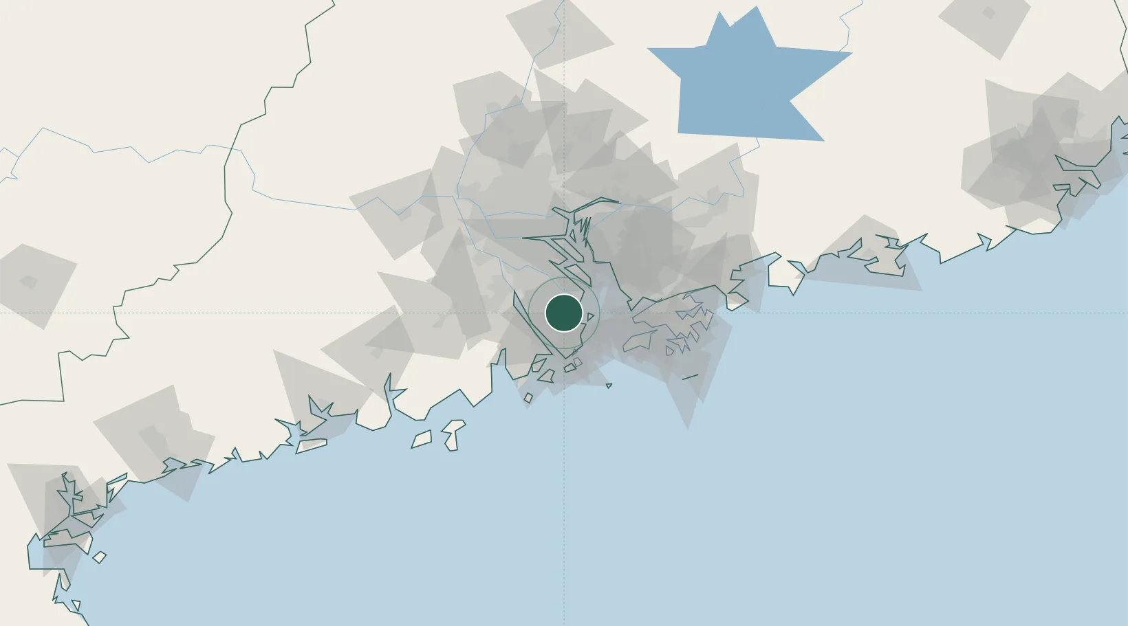
Nearby Logistics Neighbours

Cities
  1. 1Zhangjiabian13 km
  2. 2Gaoming Pt17 km
  3. 3Shenwan20 km
  4. 4Doumen Pt23 km
  5. 5Qianshan/Zhuhai23 km
Nearest neighbours — logibook spatial index (haversine) over the source coordinates
Ports
  1. 1Zhuhai26 km
  2. 2Macau30 km
  3. 3Shekou41 km
  4. 4Huangpuxingang68 km
  5. 5Huangpu72 km
Nearest neighbours — logibook spatial index (haversine) over the source coordinates
Airports
  1. 1Macau International Airport35 km
  2. 2Shenzhen Bao'an International Airport41 km
  3. 3Hong Kong International Airport48 km
  4. 4Zhuhai Jinwan Airport49 km
  5. 5Shek Kong Air Base62 km
Nearest neighbours — logibook spatial index (haversine) over the source coordinates
Trade Zones
  1. 1Zhongshan Industrial Park14 km
  2. 2Zhongshan Industrial Park24 km
  3. 3Guangzhou Nansha Export Processing Zone31 km
  4. 4Jiangmen Xinhui Economic Development Zone41 km
  5. 5Shunde High-tech Industrial Development Zone44 km
Nearest neighbours — logibook spatial index (haversine) over the source coordinates
DatabookThe Record of Consolidated Knowledge
China beyond logistics?
Browse databook

All Sources

LocationsUN/LOCODE
UN/LOCODE — free
LocationsGeoNames
CC BY 4.0
Portsthe NGA World Port Index
Public domain (US gov)
AirportsOurAirports
Public domain
Trade Zonesthe World Bank SEZ database
CC BY 4.0
Trade ZonesOpen Zone Map
CC BY
← China locations