About
Methodology
Sources
Licensing
English
EN
English
TR
Türkçe
DE
Deutsch
FR
Français
ES
Español
IT
Italiano
PT
Português
NL
Nederlands
PL
Polski
RU
Русский
UK
Українська
CS
Čeština
RO
Română
EL
Ελληνικά
BG
Български
AR
العربية
FA
فارسی
UR
اردو
HI
हिन्दी
BN
বাংলা
ID
Bahasa Indonesia
VI
Tiếng Việt
ZH
中文
JA
日本語
KO
한국어
logibook
/
Countries
/
China
/
Locations
/
Qianshan/Zhuhai
UN/LOCODE hub ·
China
CN
QSN
Qianshan/Zhuhai
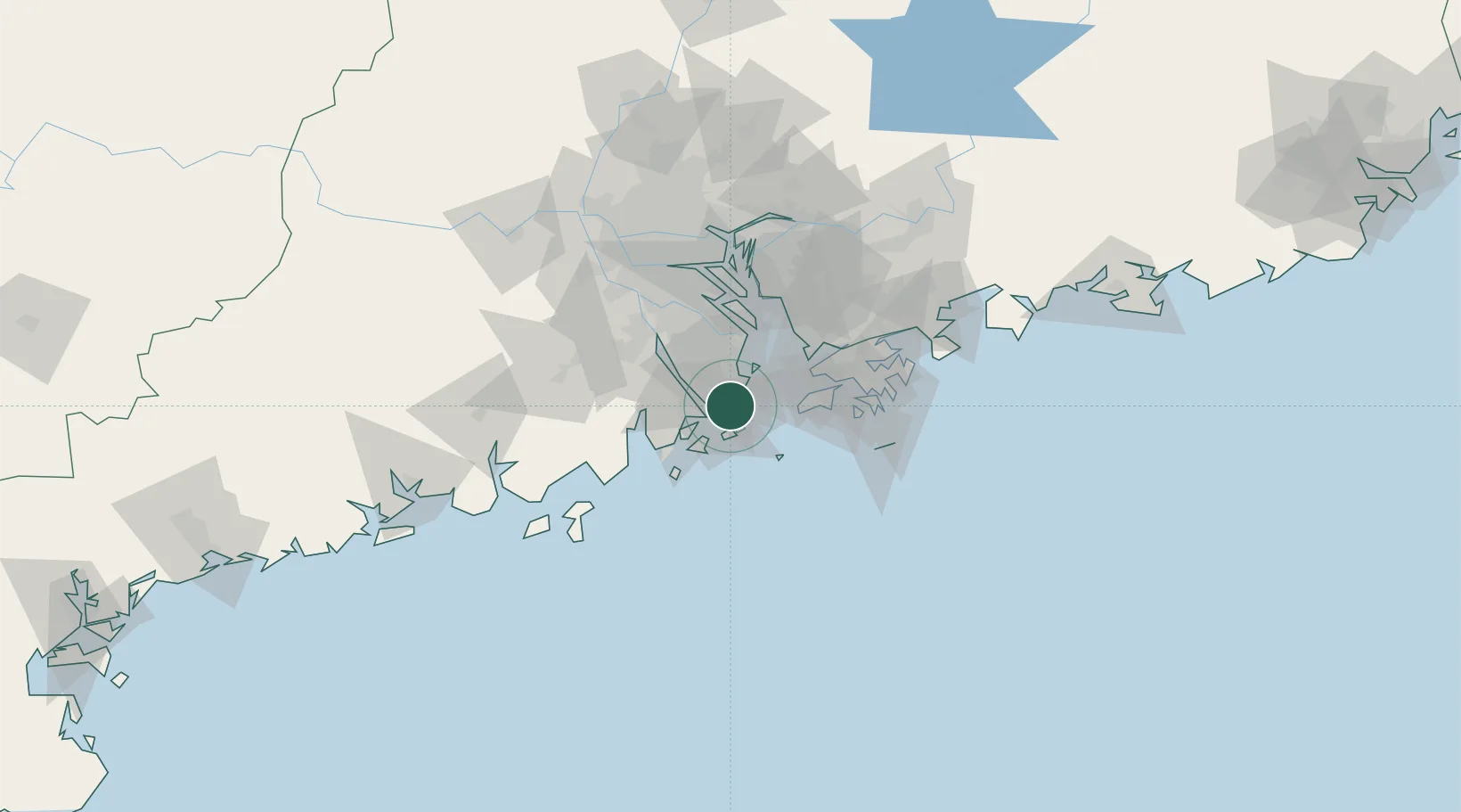
22.2333°, 113.5167°
3
Transport functions
Transport Functions
Port
Road
Multimodal
UN/LOCODE
Hub Profile
Region
GD
GeoNames
Location
Natural Earth 10m (public domain) · GD · CNQSN · 22.23, 113.52
Google ↗
OSM ↗
Yandex ↗
Nearby Logistics Neighbours
Cities
1
Doumen Pt
1 km
2
Wanzai
6 km
3
Macau
6 km
4
Zhuhai
9 km
5
Shenwan
20 km
Nearest neighbours — logibook spatial index (haversine) over the source coordinates
Ports
1
Zhuhai
7 km
2
Macau
8 km
3
Shekou
44 km
4
Hong Kong
70 km
5
Yantian
86 km
Nearest neighbours — logibook spatial index (haversine) over the source coordinates
Airports
1
Macau International Airport
12 km
2
Zhuhai Jinwan Airport
29 km
3
Hong Kong International Airport
42 km
4
Shenzhen Bao'an International Airport
54 km
5
Shek Kong Air Base
62 km
Nearest neighbours — logibook spatial index (haversine) over the source coordinates
Trade Zones
1
Zhuhai Jinwan Liangang Industrial Park
28 km
2
Zhongshan Industrial Park
37 km
3
Zhongshan Industrial Park
43 km
4
Jiangmen Xinhui Economic Development Zone
51 km
5
Guangzhou Nansha Export Processing Zone
52 km
Nearest neighbours — logibook spatial index (haversine) over the source coordinates
Data
book
The Record of Consolidated Knowledge
China beyond logistics?
Browse databook
→
All Sources
Locations
UN/LOCODE
UN/LOCODE — free
↗
Ports
the NGA World Port Index
Public domain (US gov)
↗
Airports
OurAirports
Public domain
↗
Trade Zones
the World Bank SEZ database
CC BY 4.0
↗
Trade Zones
Open Zone Map
CC BY
↗
← China locations