Transport Functions
Port
Road
Multimodal
Hub Profile
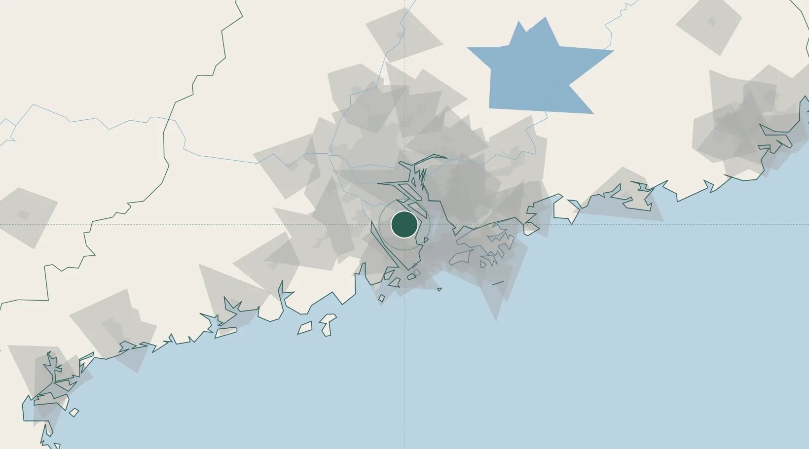
Place type
Populated place
Region
Guangdong
Time zone
Asia/Shanghai
Elevation
8 m
Location
Nearby Logistics Neighbours
Cities
- 1Gaoming Pt4 km
- 2Zhongshan13 km
- 3Xiaolan23 km
- 4Jiangmen23 km
- 5Nansha Pt25 km
Ports
- 1Zhuhai38 km
- 2Macau43 km
- 3Shekou44 km
- 4Huangpuxingang56 km
- 5Huangpu59 km
Airports
DatabookThe Record of Consolidated Knowledge
China beyond logistics?